
Kuurne, municipality in West Flanders, Belgium
Location: Arrondissement of Kortrijk
Capital city: Kuurne
Elevation above the sea: 16 m
Part of: Emergency rescue zone Fluvia, Politiezone Vlas
Shares border with: Harelbeke, Kortrijk
Phone: +3256737111
Email: info@kuurne.be
Website: https://kuurne.be
GPS coordinates: 50.85190,3.28610
Latest update: May 27, 2025 17:31
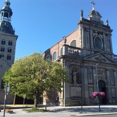
Sint-Salvatorkerk
2 km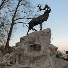
Courtrai Newfoundland Memorial
1.5 km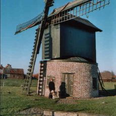
Preetjesmolen, Heule
2.8 km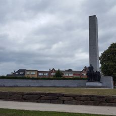
Leiemonument
2.2 km
College bridge
2.5 km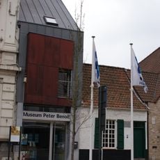
Stedelijk Museum Peter Benoit
1.7 km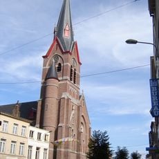
Sint-Elooiskerk
2.8 km
Koning Albertpark
2.2 km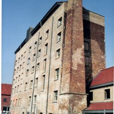
De Banmolens
1 km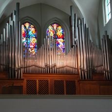
Sint-Michielskerk
234 m
Sint-Amandstoren
2.6 km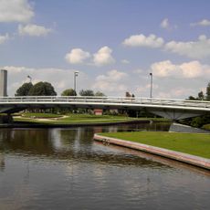
Groeningebrug
2.3 km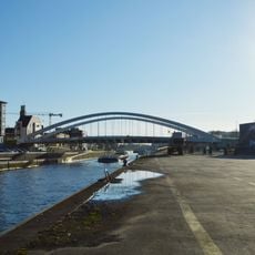
Hogebrug
1.7 km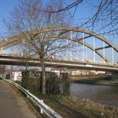
Kuurne bridge
1 km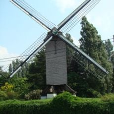
Stokerijmolen
2.2 km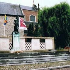
Oorlogsmonument Harelbeke
2 km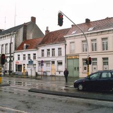
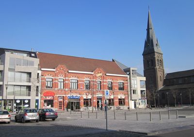
Marktstraat
1.5 km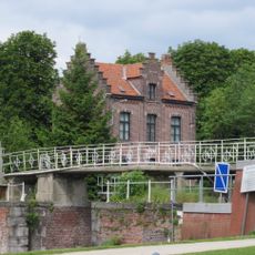
Sluis 11
2.2 km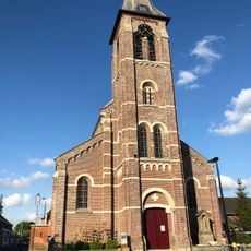
Sint-Katharinakerk
3.9 km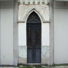
Groeningekapelleke
2.5 km
Oostelijke watermolens
1.2 km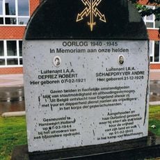
Herdenkingsmonument Lt. Robert Deprez en Lt. André Schaepdryver
2.1 km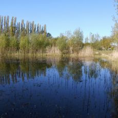
Groene Long
626 m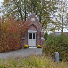
Kapel Ter Coutere
1.6 km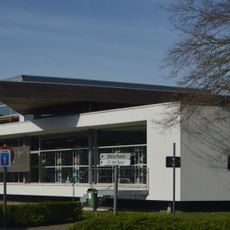
Stedelijke openbare bibliotheek Harelbeke
2 km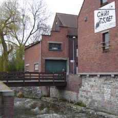
Watermolen
2.4 km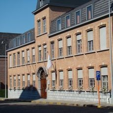
Onze-Lieve-Vrouwhospitaal
2 km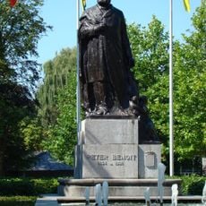
Peter Benoit
1.9 kmVisited this place? Tap the stars to rate it and share your experience / photos with the community! Try now! You can cancel it anytime.
Discover hidden gems everywhere you go!
From secret cafés to breathtaking viewpoints, skip the crowded tourist spots and find places that match your style. Our app makes it easy with voice search, smart filtering, route optimization, and insider tips from travelers worldwide. Download now for the complete mobile experience.

A unique approach to discovering new places❞
— Le Figaro
All the places worth exploring❞
— France Info
A tailor-made excursion in just a few clicks❞
— 20 Minutes