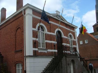
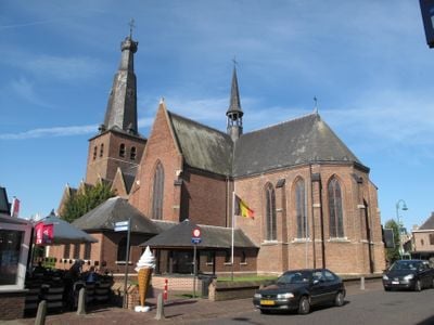
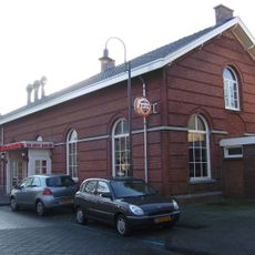
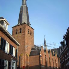
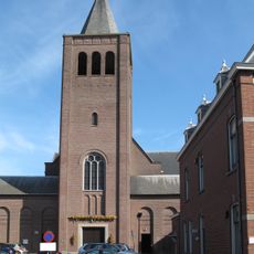
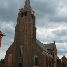
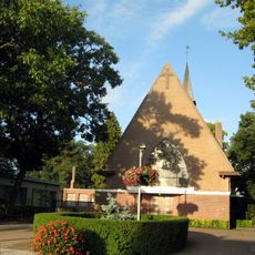
Baarle-Hertog, Border municipality in Antwerp Province, Belgium
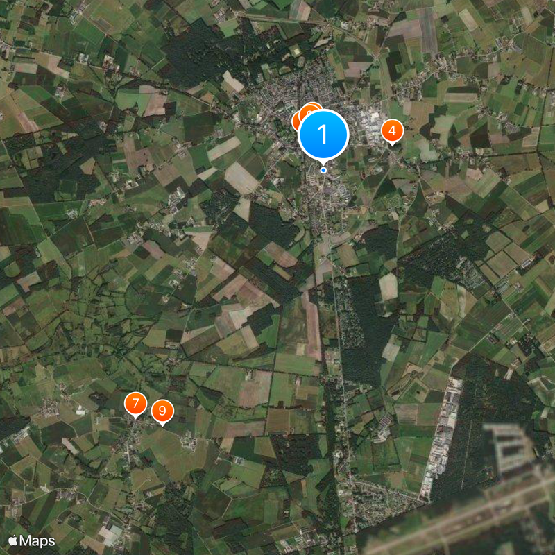
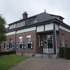
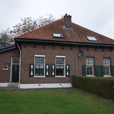
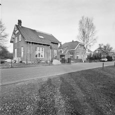
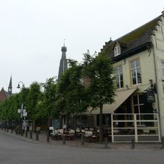
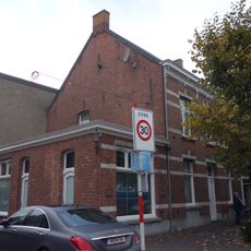
Baarle-Hertog is a Belgian municipality inside the Dutch province of North Brabant, made up of 26 separate territories, some containing just a few houses. These pieces lie entirely within the Netherlands and form a maze of boundaries that run through streets, gardens, and even individual buildings.
The division arose from medieval agreements between the Lords of Breda and the Dukes of Brabant, who distributed land and rights in a complex manner. The current border was officially established in 1843, largely preserving the old ownership patterns.
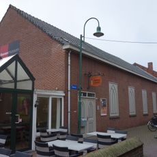
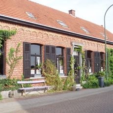
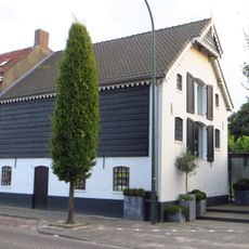
The name derives from a medieval division between two lordships that remains visible in daily life today. Residents sometimes change countries when crossing a street, and houses can stand in both nations at once, allowing inhabitants to choose which nationality they prefer.
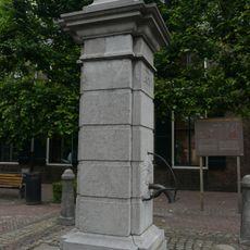
Metal markers embedded in pavement show where the border runs and help with navigation between the two legal systems. Most shops accept euros and the usual payment methods from both countries, so visitors need not worry about the exact location while shopping.
During World War I, the municipality offered an escape route for Belgians because German forces could not enter the neutral Dutch areas. Some houses were built so that their entrance lay in the Netherlands while the back door opened directly into Belgium.
Location: Arrondissement of Turnhout
Capital city: Baarle-Hertog
Operator: Gemeente Baarle-Hertog
Part of: Baarle, Politiezone Regio Turnhout, Emergency zone Taxandria
Shares border with: Merksplas, Turnhout, Baarle-Nassau
Phone: +3214698070
Email: gemeente@baarle-hertog.be
Website: https://baarle-hertog.be
GPS coordinates: 51.43833,4.93167
Latest update: December 12, 2025 23:24
Station Baarle-Nassau
578 m
Sint-Remigiuskerk
458 m
Sint-Salvatorkapel
1 km
Onze Lieve Vrouw van Altijddurende Bijstand
632 m
Kaarsenmuseum
429 m
Sint-Rumolduskerk
4.4 km
Statue of Sacred Heart of Jesus Christ
609 m
Onze-Lieve-Vrouw van Vlaanderenkapel
4.2 km
Moermolen
5.4 km
Onze-Lieve-Vrouw van de Rozenkranskerk
4.6 km
Hoeve
4.3 km
Oorlogsmonument
735 m
Nijhoven 9, Baarle-Nassau
1.3 km
Complex dienstwoningen
4.1 kmLangsdeelschuur
1.7 kmWoonhuis
1.1 km
Dienstwoningencomplex
4 km
Complex dienstwoningen
4.2 km
Pomp, Baarle-Nassau
559 m
Huis met zij-trapgevels en sierankers
539 m
Vrijstaand looierijgebouw aan de doorgaande weg net buiten het centrum
888 mPatronaat
629 m
Complex dienstwoningen
4.2 km
Boshoven 8, Baarle-Nassau
1.8 kmWoonhuis van het type Kempisch verdiepinghuis, ten dele gelegen in een Belgische enclave, ten dele in Nederland
1.1 km
Woonhuis met winkel
497 m
Monument voor Nederlandse Militairen
724 mAlter Ego
519 mVisited this place? Tap the stars to rate it and share your experience / photos with the community! Try now! You can cancel it anytime.
Discover hidden gems everywhere you go!
From secret cafés to breathtaking viewpoints, skip the crowded tourist spots and find places that match your style. Our app makes it easy with voice search, smart filtering, route optimization, and insider tips from travelers worldwide. Download now for the complete mobile experience.
A unique approach to discovering new places❞
— Le Figaro
All the places worth exploring❞
— France Info
A tailor-made excursion in just a few clicks❞
— 20 Minutes