Hamme, municipality in East Flanders, Belgium
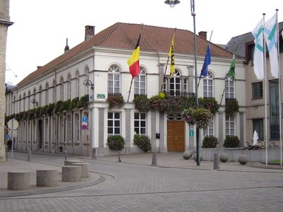
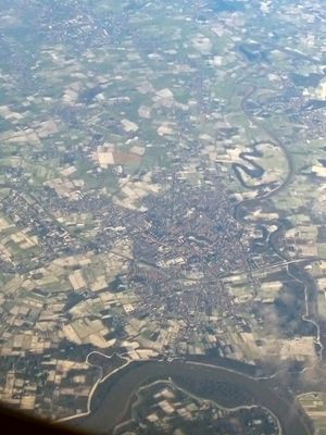
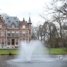
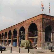
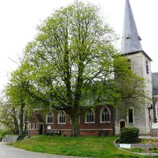
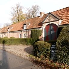
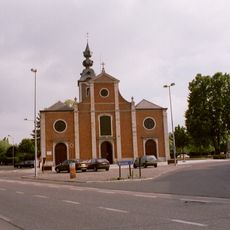
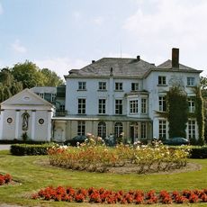
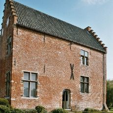
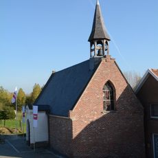
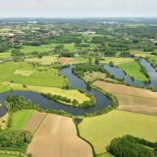
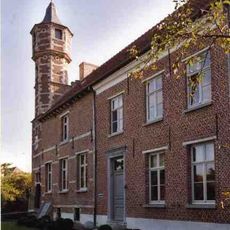
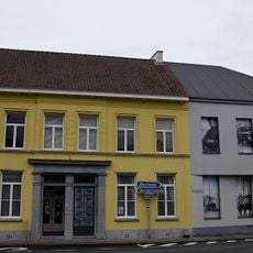
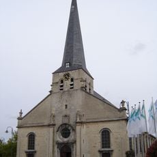
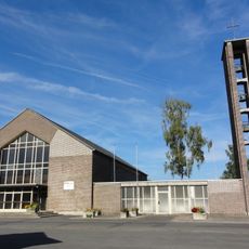
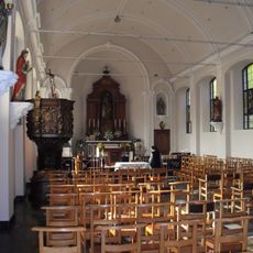
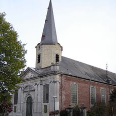
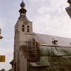
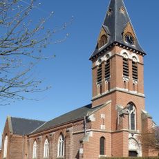
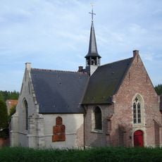
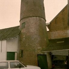
Hamme is a municipality in East Flanders, Belgium, situated between two rivers called the Durme and the Scheldt. The town shows old brick buildings, small churches, and local shops that have kept their appearance for many years, reflecting how daily life has unfolded here over time.
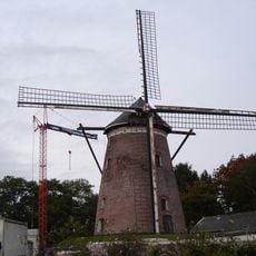
Hamme dates back to medieval times and was historically known for rope-making and farming. Over centuries, the town maintained its rural character while gradually becoming a modern residential place, yet it kept its traditional roots alive through local customs and stories.
Hamme carries the name of its medieval roots, which appear in local street names and stories passed down through generations. The yearly Hamse Wuiten parade, held at the end of March, shows how residents celebrate with costumes and large decorated trucks that mock politicians and national events, keeping local humor and identity alive.
Hamme is easy to explore on foot since the streets are not crowded and everything is compact. Visitors can use bicycles or nearby main roads like the N41 and E17 to reach larger cities such as Dendermonde and Sint-Niklaas within short distances.
Ferdinand Bracke, a cyclist from Hamme, was chosen as Belgium's Sportsman of the Year in 1967, a major honor for a young athlete from this small town. The place has a strong cycling tradition, and many residents regularly ride bicycles on local roads.
The community of curious travelers
AroundUs brings together thousands of curated places, local tips, and hidden gems, enriched daily by 60,000 contributors worldwide.