
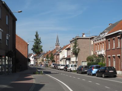
Merksplas, municipality in Antwerp, Belgium
Location: Arrondissement of Turnhout
Capital city: Merksplas
Part of: Emergency zone Taxandria, Politiezone Noorderkempen
Shares border with: Turnhout, Beerse, Rijkevorsel, Ravels, Hoogstraten, Baarle-Hertog
Phone: +3214639400
Email: onthaal@merksplas.be
Website: http://merksplas.be
GPS coordinates: 51.35806,4.86278
Latest update: May 27, 2025 17:31
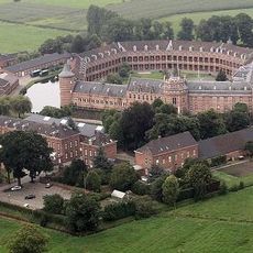
Gelmelslot
7.5 km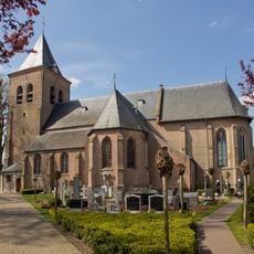
Sint Jan Baptistkerk
6.6 km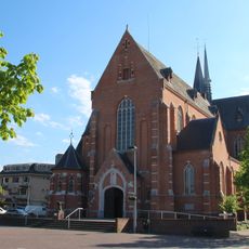
Sint-Lambertuskerk
4.3 km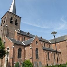
Onze-Lieve-Vrouwkerk
5.3 km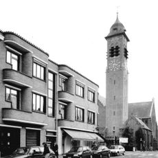
Onze-Lieve-Vrouw Middelareskerk
6.4 km
Pinksterkerk
5.8 km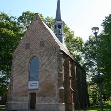
Onze-Lieve-Vrouw van Zeven Weeënkapel
6.9 km
Luysterborg
3 km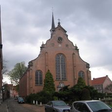
Heilig Kruiskerk
6.6 km
Landgoed 't Kasteeltje
3.2 km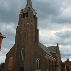
Sint-Rumolduskerk
5.9 km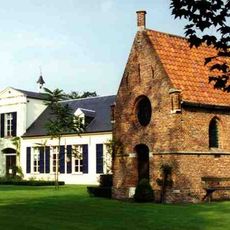
Garenblekerij Boones Blijk
5.6 km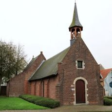
Sint-Corneliuskapel
4.8 km
Mariapark
5.2 km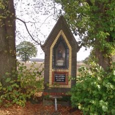
Onze-Lieve-Vrouw van Vlaanderenkapel
5.9 km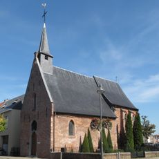
Sint-Theobalduskapel
6.7 km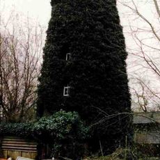
Moermolen
4.8 km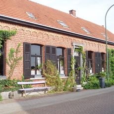
Hoeve
5.9 km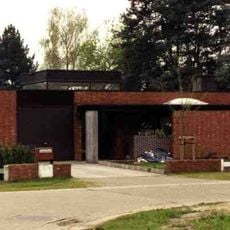
Woning Sap
5.6 km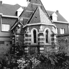
Neogotische kapel
4.1 km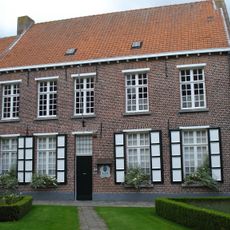
Begijnhofmuseum
6.5 km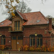
Klein Engelandhoeve
5.1 km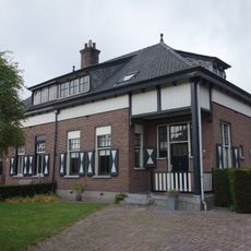
Complex dienstwoningen
7 km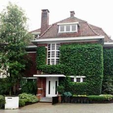
Eclectische villa
4.3 km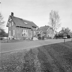
Complex dienstwoningen
6.9 km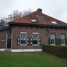
Dienstwoningencomplex
7.1 km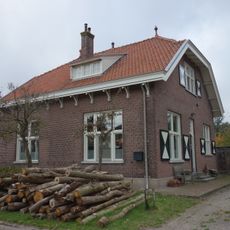
Complex dienstwoningen
6.9 km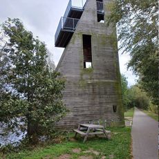
Uitkijktoren Bels Lijntje
5.4 kmVisited this place? Tap the stars to rate it and share your experience / photos with the community! Try now! You can cancel it anytime.
Discover hidden gems everywhere you go!
From secret cafés to breathtaking viewpoints, skip the crowded tourist spots and find places that match your style. Our app makes it easy with voice search, smart filtering, route optimization, and insider tips from travelers worldwide. Download now for the complete mobile experience.

A unique approach to discovering new places❞
— Le Figaro
All the places worth exploring❞
— France Info
A tailor-made excursion in just a few clicks❞
— 20 Minutes