
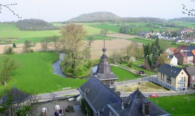
Kanne, section of Riemst, Belgium
Location: Riemst
Elevation above the sea: 62 m
GPS coordinates: 50.81310,5.67060
Latest update: May 27, 2025 17:31
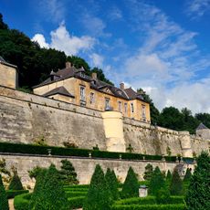
Château Neercanne
651 m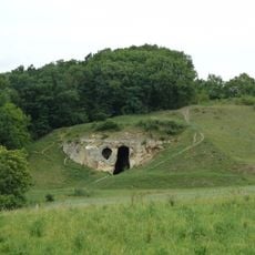
Duivelsgrot
781 m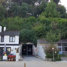
Mergelgroeve van Kanne
428 m
Sint Pietersberg kunstbunker
1 km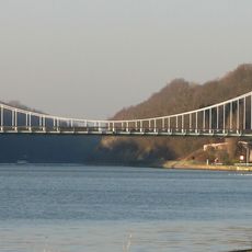
Bridge at Kanne
281 m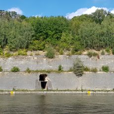
Groeve De Nieuwe Keel
1 km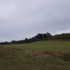
Poppelmondedal
818 m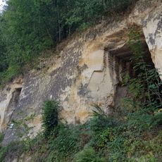
Groeve Mathus
559 m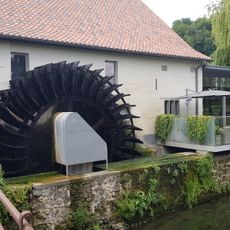
Smokkelmolen
455 m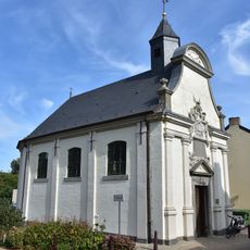
Heilig-Grafkapel, Nederkanne
451 m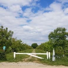
Belgium-Netherlands boundary stone no. 72
1 km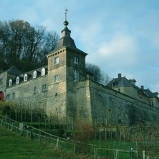
Château Neercanne: main building
666 m
Belgium-Netherlands boundary stone no. 64
454 m
Château Neercanne: park and gardens
665 m
Château Neercanne: defensive wall with corner tower and arbor
700 m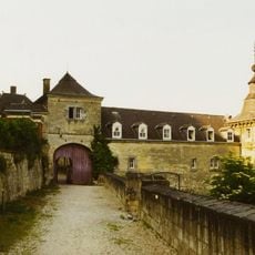
Château Neercanne: gatehouse and farm
665 m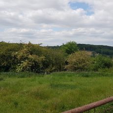
Belgium-Netherlands boundary stone no. 60
594 m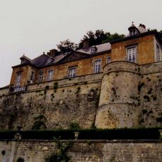
Château Neercanne: terrace wall with terrace
692 m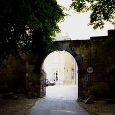
Château Neercanne: outbuilding with quarry with north gate
686 m
Belgium-Netherlands boundary stone no. 71a
760 m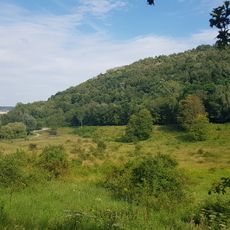
ENCI-weide
959 m
Belgium-Netherlands boundary stone no. 70b
580 m
Belgium-Netherlands boundary stone no. 61
658 m
Belgium-Netherlands boundary stone no. 62
451 m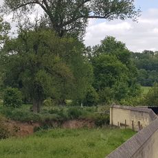
Belgium-Netherlands boundary stone no. 67
537 m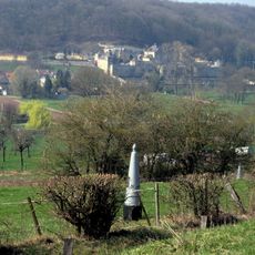
Grenspaal 59
619 m
Grenspaal 58
636 m
Belgium-Netherlands boundary stone no. 55
969 mReviews
Visited this place? Tap the stars to rate it and share your experience / photos with the community! Try now! You can cancel it anytime.
Discover hidden gems everywhere you go!
From secret cafés to breathtaking viewpoints, skip the crowded tourist spots and find places that match your style. Our app makes it easy with voice search, smart filtering, route optimization, and insider tips from travelers worldwide. Download now for the complete mobile experience.

A unique approach to discovering new places❞
— Le Figaro
All the places worth exploring❞
— France Info
A tailor-made excursion in just a few clicks❞
— 20 Minutes