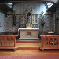
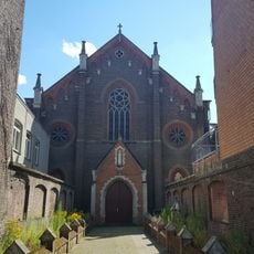
Meetjesland, Geographic region in northwestern East Flanders, Belgium.
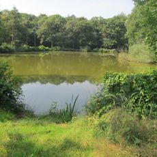
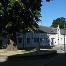
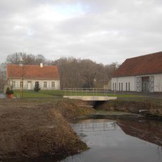
Meetjesland is a region in northwestern East Flanders characterized by creeks, gentle hills called cuestas, and distinct landscape zones. The north contains flat polders while the south features woodlands and elevated terrain that shape the area's geography.
The region's name originated in the 16th century from an encounter involving Emperor Charles V and local residents. This anecdote became embedded in local memory and identity over time.
The name comes from an old local story about Emperor Charles V meeting mostly elderly women during his visits, as residents hid their daughters away. This tale remains part of how people here talk about their region's past.
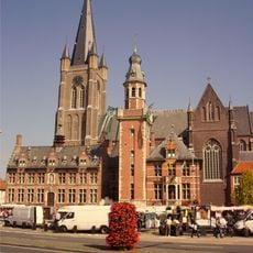
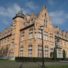
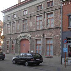
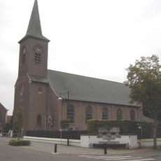
The region includes eight municipalities connected through regional transportation networks, making it accessible from surrounding areas. Planning a visit around local transport links between towns works well for exploring the different zones.
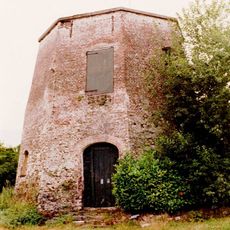
The former Ursel airfield marks the highest point in the region, rising around 25 m above the surrounding plain. This modest elevation is geographically significant despite being easy to overlook when visiting.
The community of curious travelers
AroundUs brings together thousands of curated places, local tips, and hidden gems, enriched daily by 60,000 contributors worldwide.