
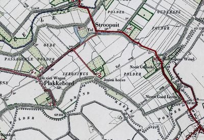
Brandkreekpolder, polder in Zeeland, Nederland
Location: Zeeland
Location: East Flanders
GPS coordinates: 51.28640,3.54120
Latest update: March 25, 2025 22:00
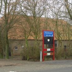
Turkeye
4.5 km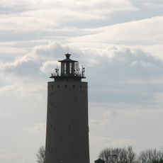
Watertoren
5.8 km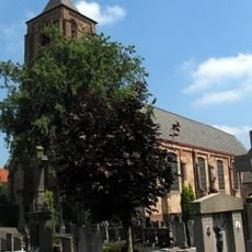
Sint-Laurentiuskerk
5.1 km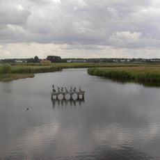
Oudemanskreek
3.5 km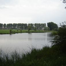
Bentillekreek
4.1 km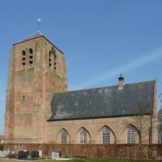
Hervormde Kerk
3.5 km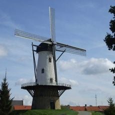
De Witte Juffer
6.4 km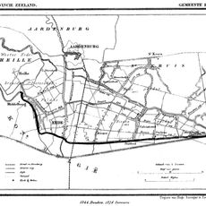
Oosthoek
6.2 km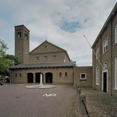
Sint-Eligiuskerk
5.6 km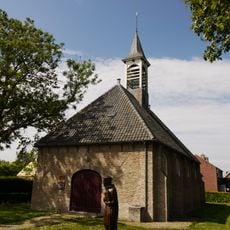
Nederlands Hervormde Kerk
3.6 km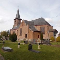
Sint-Niklaaskerk
3.3 km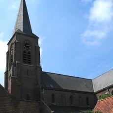
Sint-Margaretakerk
577 m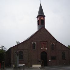
Sint-Eligiuskerk
6.2 km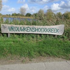
Vrouwkenshoekkreek
3.7 km
Sint Philipspolder
4.2 km
Brugsche-Vaartpolder
6.3 km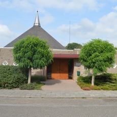
Kerk van de Gereformeerde Gemeenten
5.5 km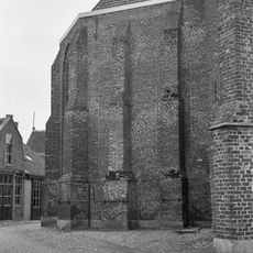
Eloykerk
5.8 km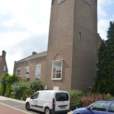
Kerkpleinkerk
5.8 km
Cathalijnepolder
3.8 km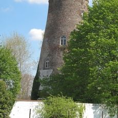
Fraukensmolen
5.9 km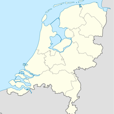
Dierkensteenpolder
4.9 km
Mauritspolder
5.9 km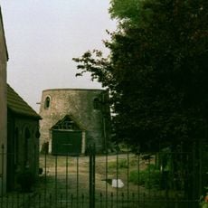
Baeyensmolen
1.2 km
Kleine Boompolder
2.8 km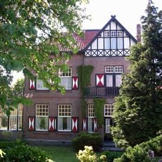
Vrijstaande villa met kantoor in overgangsarchitectuur
5.7 km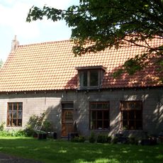
Hoeve aan oprijlaan
3.9 km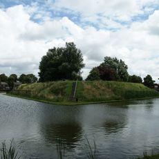
Verdedigingswerken
6.4 kmVisited this place? Tap the stars to rate it and share your experience / photos with the community! Try now! You can cancel it anytime.
Discover hidden gems everywhere you go!
From secret cafés to breathtaking viewpoints, skip the crowded tourist spots and find places that match your style. Our app makes it easy with voice search, smart filtering, route optimization, and insider tips from travelers worldwide. Download now for the complete mobile experience.

A unique approach to discovering new places❞
— Le Figaro
All the places worth exploring❞
— France Info
A tailor-made excursion in just a few clicks❞
— 20 Minutes