Pagus Bracbatensis, Medieval administrative district between the Scheldt and Dyle rivers, Belgium and Netherlands
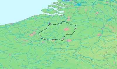
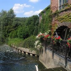
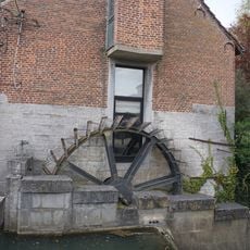
Pagus Bracbatensis was a medieval administrative district stretching across parts of modern-day Belgium and the Netherlands, encompassing areas around Brussels, Leuven, and portions of North Brabant. The region was bounded by major rivers such as the Scheldt, Rupel, and Dyle, which served as natural administrative boundaries.
Pagus Bracbatensis emerged as a Carolingian administrative division in the 8th century and was first documented in records from Saint Peter's Abbey around 750. This early establishment made it a key administrative center in the Frankish realm's organization.
The territory developed a multilingual character with Dutch speakers settling in the north and French speakers in the south. This language boundary shaped how communities lived together across the region.
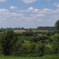
The territory is best explored today by visiting modern cities like Brussels and Leuven, where historical river courses still shape the landscape. Understanding its medieval boundaries requires recognizing that they do not align with modern borders.
Archaeological coin finds reveal a connection between this district and the ancient Belgic Nervii tribe during the Roman period. This continuity between antiquity and the medieval period shows how long people had valued this territory as an administrative center.
The community of curious travelers
AroundUs brings together thousands of curated places, local tips, and hidden gems, enriched daily by 60,000 contributors worldwide.