Belgium–France–Luxembourg tripoint, International tripoint in Luxembourg border region, Europe
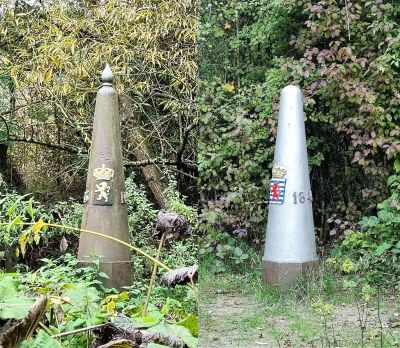
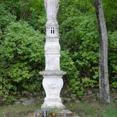
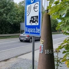
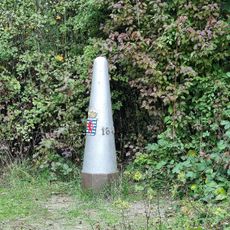
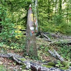
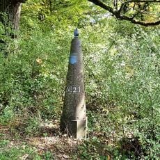
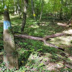
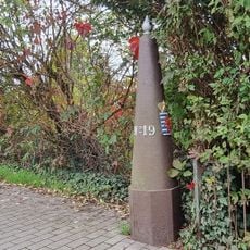
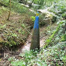
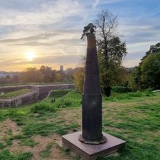
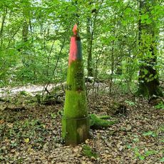
The Belgium-France-Luxembourg tripoint is an international meeting point where the borders of three countries converge in the northwestern corner of this region. Two boundary stone markers mark the exact location where all three borders meet.
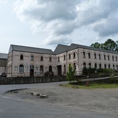
The border point emerged from historical treaties that established the boundaries between these three European countries. The region experienced economic shifts as mining and steel industries gave way to different economic activities.
The location marks where three countries with different languages and administrative systems meet on the ground. You can feel how borders shape the landscape and how distinct national identities exist side by side.
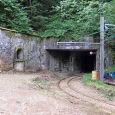
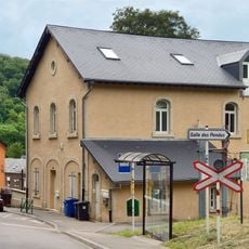
The location can be reached by road, and nearby train stations provide access to the area. It is wise to wear sturdy shoes since the terrain can be uneven and conditions vary depending on the season.
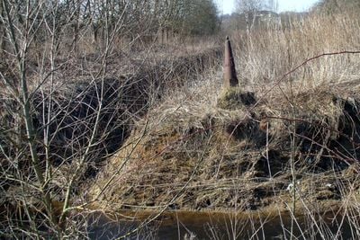
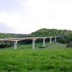
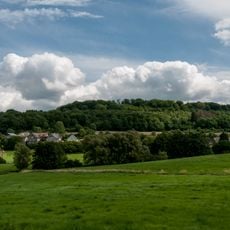
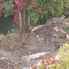
The Chiers River flows nearby and shapes the natural surroundings with ferns and green vegetation. The river creates natural boundaries that complement the official borders and make this a distinctive location.
Part of: Belgium–France border, France–Luxembourg border, Belgium–Luxembourg border
GPS coordinates: 49.54639,5.81854
Latest update: December 11, 2025 11:05
Titelberg
3.3 km
Minett Park Fond-de-Gras
3.2 km
Viaduc de Piedmont
3.6 km
Domaine de Clémarais, Aubange
2.5 km
Église Saint-Martin de Mont-Saint-Martin
2.8 km
Athus et l'acier
2.2 km
L'Univers des pompiers
2.2 km
Église Sainte-Barbe
3.1 km
Chapelle Saint-Éloi d'Athus
1.9 km
Titelberg
3.1 km
Muttergottesknippchen
2.5 km
Minièresbunn
2.6 km
Église Saint-Laurent de Longlaville
2 km
Église Saint-Barthélemy de Mont-Saint-Martin
2.5 km
Boundary mark LB 001
9 m
Boundary mark LB 020
2.4 km
Boundary mark LB 001
12 m
Église Saint-Jules de Gouraincourt
3.5 km
Gossemaark LB025
3.3 km
Boundary mark LB 002
844 m
Gossemaark LB021
2.7 km
Boundary mark LB 022
3 km
Boundary mark LB 019
2.4 km
Boundary mark LB 023
3 km
Boundary mark LB 004
792 m
Gossemaark LB024
3.2 km
Église Saint-Sébastien de Saulnes
1.7 km
Église Saint-Pierre du Vieux Village
3.6 kmVisited this place? Tap the stars to rate it and share your experience / photos with the community! Try now! You can cancel it anytime.
Discover hidden gems everywhere you go!
From secret cafés to breathtaking viewpoints, skip the crowded tourist spots and find places that match your style. Our app makes it easy with voice search, smart filtering, route optimization, and insider tips from travelers worldwide. Download now for the complete mobile experience.
A unique approach to discovering new places❞
— Le Figaro
All the places worth exploring❞
— France Info
A tailor-made excursion in just a few clicks❞
— 20 Minutes