
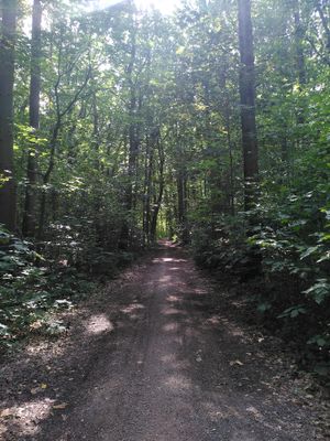
Steentjesbos, Forest in Belgium
Inception: 2014
Elevation above the sea: 20 m
GPS coordinates: 50.96584,4.53638
Latest update: May 28, 2025 21:00

Channel Leuven-Mechelen
1.9 km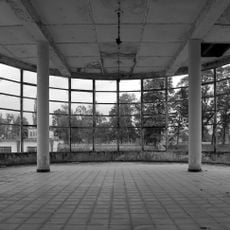
Domein Hofstade
3.1 km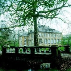
Kasteel Schiplaken
1.4 km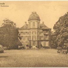
Kasteel Ambroos
3.9 km
Sportimonium vzw
2.6 km
Heilige-Familiekerk
1.6 km
Sint-Hubertuskerk
2.8 km
Onze-Lieve-Vrouwekerk
2.8 km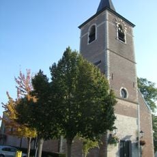
Sint-Servatiuskerk
3.9 km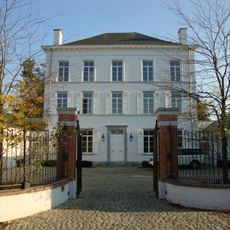
Kasteel van Bellinghen
2.9 km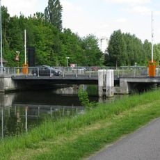
Hofstadebrug
3 km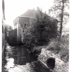
Dorpsmolen
3 km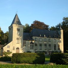
Kasteel van Opstal
3.9 km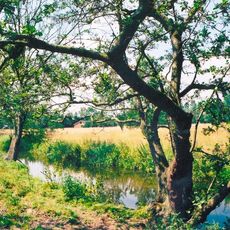
Kasteel van Meerbeek
3.9 km
Sint-Servatiuskapel
1.2 km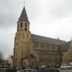
Sint-Antonius Abtkerk
3 km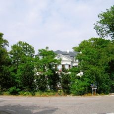
Kasteel Trianon
3.2 km
Domein Oudenhoven
2.8 km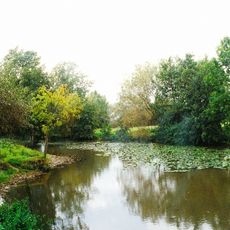
Kasteel Ravestein
3.7 km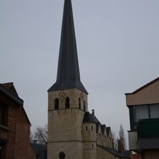
Sint-Martinuskerk
4 km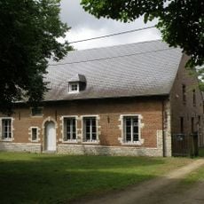
Watermolen van het Steen
4.1 km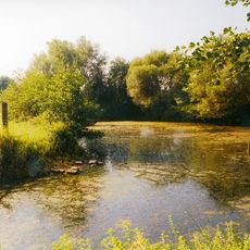
Gottendijs
1.4 km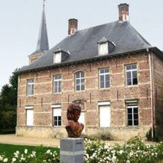
Presbytery of Kampenhout
2.9 km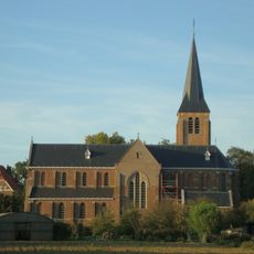
Sint-Jozefskerk
3.9 km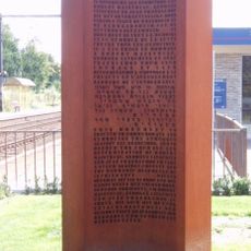
Transport XX from Caserne Dossin to Auschwitz Birkenau on 19/04/1943
3.2 km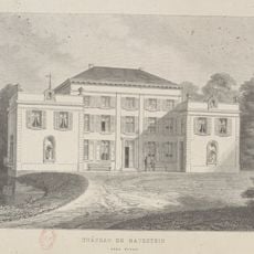
Domein Ravestein
3.8 km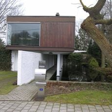
Architect's house of Lucien Engels
3.7 km
Domaine de Hofstade
2.9 kmReviews
Visited this place? Tap the stars to rate it and share your experience / photos with the community! Try now! You can cancel it anytime.
Discover hidden gems everywhere you go!
From secret cafés to breathtaking viewpoints, skip the crowded tourist spots and find places that match your style. Our app makes it easy with voice search, smart filtering, route optimization, and insider tips from travelers worldwide. Download now for the complete mobile experience.

A unique approach to discovering new places❞
— Le Figaro
All the places worth exploring❞
— France Info
A tailor-made excursion in just a few clicks❞
— 20 Minutes