
Ternat, town in Ternat municipality, Belgium
Location: Ternat
Part of: Ternat
GPS coordinates: 50.87128,4.17668
Latest update: June 7, 2025 11:21
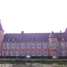
Kruikenburg Castle
433 m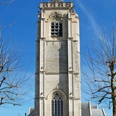
Saint Gertrude church
85 m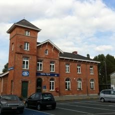
Ternat railway station
845 m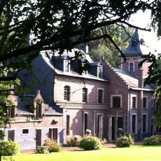
Kasteel ter Linden
1.6 km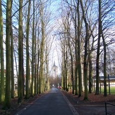
Dreef Ternat
83 m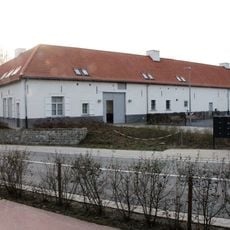
Hof ten Berge, Ternat
539 m
CC De Ploter
1.5 km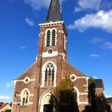
Sint-Catharinakerk
1.4 km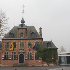
Castle De Mot
278 m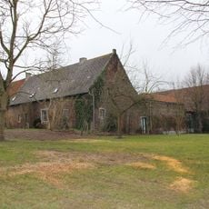
't Hof van Lombeek
1.7 km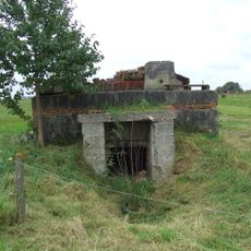
Bunker in Terlindenstraat
907 m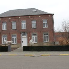
Pastorie, Sint-Katherina-Lombeek
1.3 km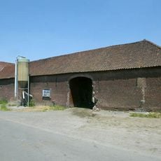
Hof ten Berge
168 m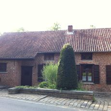
Watermolen van Opalfene
1.3 km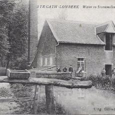
Watermolen Ten Berg
168 m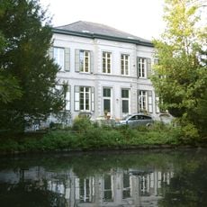
Clergy house of Ternat
237 m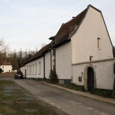
Steenvoordemolen
2 km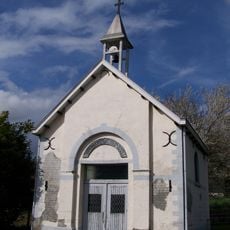
Sint-Jozefkapel (Opalfene)
168 m
U-vormige hoeve
1.6 km
Dreef 25-27
239 m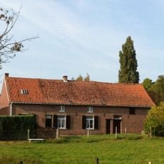
Langgestrekt hoevetje
1.6 km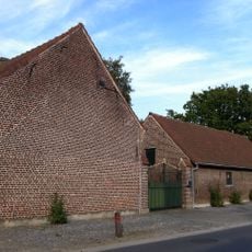
Nattestraat 36
1.1 km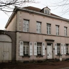
Dreef 21, Ternat
182 m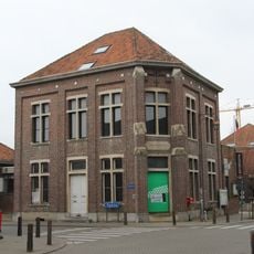
Gemeentehuis Sint-Katherina-Lombeek
1.5 km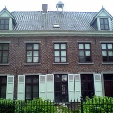
Herenhuis
216 m
Boerenburgerhuis
1 km
Kapelletje aan de Waterkant
1.8 km
Wittehoeve, vierkanthoeve
982 mReviews
Visited this place? Tap the stars to rate it and share your experience / photos with the community! Try now! You can cancel it anytime.
Discover hidden gems everywhere you go!
From secret cafés to breathtaking viewpoints, skip the crowded tourist spots and find places that match your style. Our app makes it easy with voice search, smart filtering, route optimization, and insider tips from travelers worldwide. Download now for the complete mobile experience.

A unique approach to discovering new places❞
— Le Figaro
All the places worth exploring❞
— France Info
A tailor-made excursion in just a few clicks❞
— 20 Minutes