Brugelette, municipality section and town in Brugelette municipality, Belgium
Location: Brugelette
Part of: Brugelette
GPS coordinates: 50.59557,3.85264
Latest update: April 30, 2025 02:31
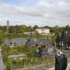
Pairi Daiza
2.7 km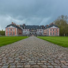
Château of Belœil
10 km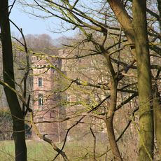
Château de Moulbaix
9.9 km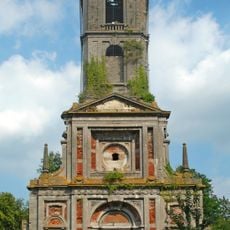
Cambron Abbey
2.6 km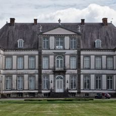
Attre Castle
1.6 km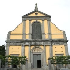
Basilica of Our Lady of Tongre
5.7 km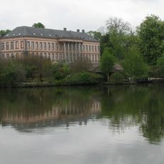
Château de Cambron
2.8 km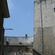
Tour Burbant
6.8 km
Château de Louvignies
9.5 km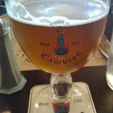
Abbaye de Cambron
2.5 km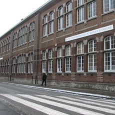
Institut provincial d'enseignement secondaire d'Ath
6.3 km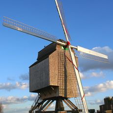
Moulin de la Marquise, Moulbaix
9.4 km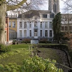
The House of the giants
6.7 km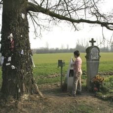
Nail Oak
6.6 km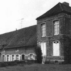
Abbaye de Ghislenghien
7.1 km
Château Malaise
8.6 km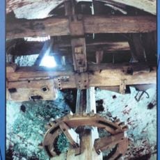
Le blanc moulin, Ostiches
11 km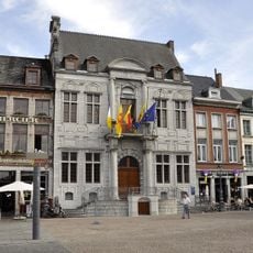
City hall of Ath
6.6 km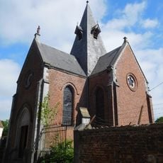
Notre-Dame de la Fontaine
3.3 km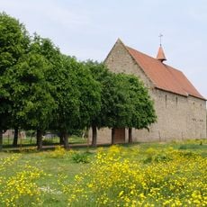
Chapelle Saint-Jean-Baptiste
3.4 km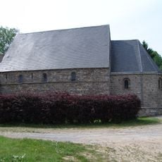
Chapelle de la Ladrerie de Chièvres
3.6 km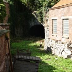
Pont à la Herse
6.8 km
Église Saint-Amand de Rebaix
8.7 km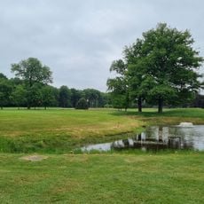
Mont garni Golf Club
10.5 kmAthénée royal d'Ath
6.5 km
Chapelle Notre-Dame de la Cavée
9.6 km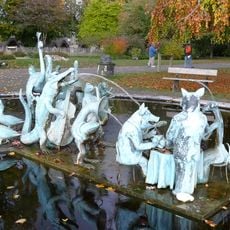
Les Noces
2.7 km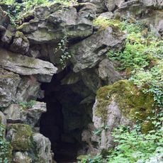
Grotto located in the grounds of the Attre Castle
1.5 kmVisited this place? Tap the stars to rate it and share your experience / photos with the community! Try now! You can cancel it anytime.
Discover hidden gems everywhere you go!
From secret cafés to breathtaking viewpoints, skip the crowded tourist spots and find places that match your style. Our app makes it easy with voice search, smart filtering, route optimization, and insider tips from travelers worldwide. Download now for the complete mobile experience.

A unique approach to discovering new places❞
— Le Figaro
All the places worth exploring❞
— France Info
A tailor-made excursion in just a few clicks❞
— 20 Minutes