
Lokeren, municipality section in East Flanders, Belgium
Location: Lokeren
Elevation above the sea: 4 m
Part of: Lokeren
GPS coordinates: 51.11544,3.96304
Latest update: March 8, 2025 05:08
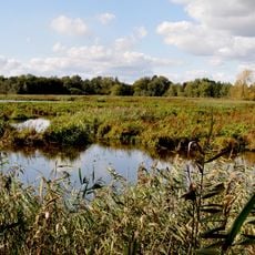
Molsbroek
3.7 km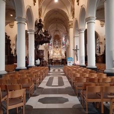
Sint-Laurentiuskerk
2.4 km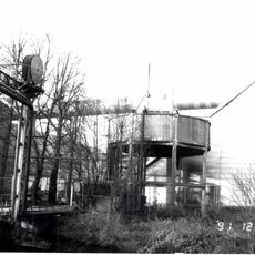
Suikersite Moerbeke
6.7 km
Fondatie van Boudelo
6.3 km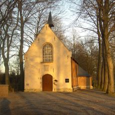
Kruiskapel
5 km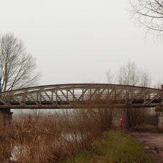
Spletterenbrug
2.5 km
Bedmarlinie
4.4 km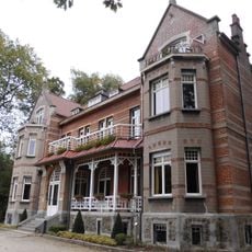
Kasteel Verloren Bos
2.5 km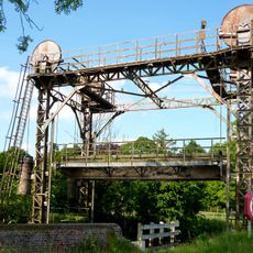
Vapeurbrug
6.5 km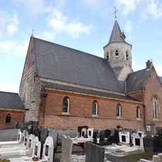
Onze-Lieve-Vrouwekerk
1.6 km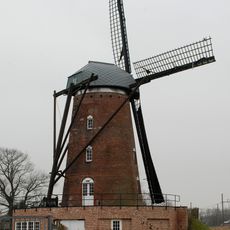
Heirbrugmolen
1.6 km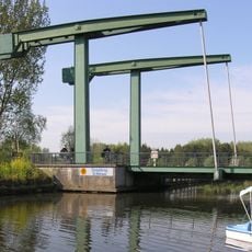
Sinaaibrug
5.1 km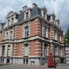
Kasteel Lippens
6.6 km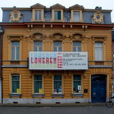
House Thuysbaert
2 km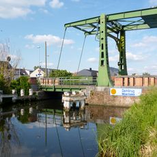
Dambrug
6.4 km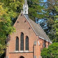
Kopkapel
2.4 km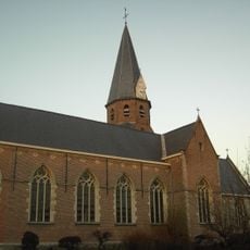
Onze-Lieve-Vrouw-Hemelvaartkerk
3.7 km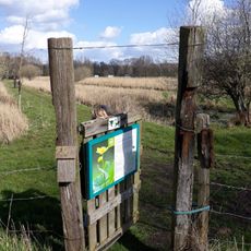
Daknamse Meersen
2.2 km
Kasteel Hof ten Goede
6.1 km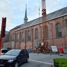
Sint-Antonius van Paduakerk
2.6 km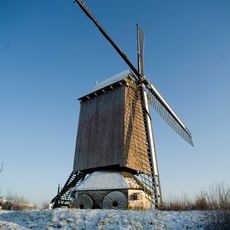
Nieuwe Bossenare
1.6 km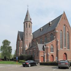
Heilig Hartkerk
3.3 km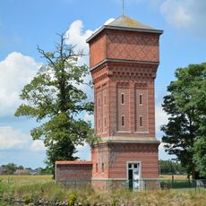
Water tower Moerbeke
6.6 km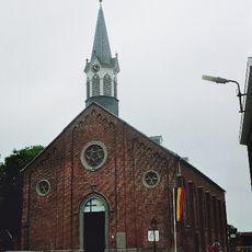
Sint-Jozef en Sint-Antonius van Paduakerk
5.8 km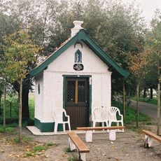
Onze-Lieve-Vrouw van den Tuimelaarkapel
6.2 km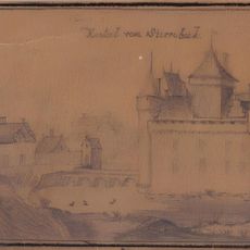
Sterrebeek Castle
2.2 km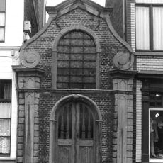
Sint-Laurentiuskapel
2.5 km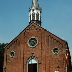
Sint-Jozef en Sint-Antonius van Paduakerk
5.8 kmVisited this place? Tap the stars to rate it and share your experience / photos with the community! Try now! You can cancel it anytime.
Discover hidden gems everywhere you go!
From secret cafés to breathtaking viewpoints, skip the crowded tourist spots and find places that match your style. Our app makes it easy with voice search, smart filtering, route optimization, and insider tips from travelers worldwide. Download now for the complete mobile experience.

A unique approach to discovering new places❞
— Le Figaro
All the places worth exploring❞
— France Info
A tailor-made excursion in just a few clicks❞
— 20 Minutes