
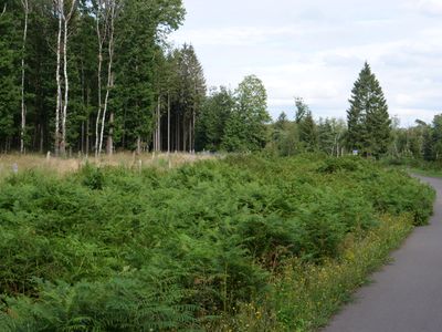
Osthertogenwald around Raeren
Osthertogenwald around Raeren, site Natura 2000
Location: Raeren
Inception: October 2002
Part of: Hertogenwald
GPS coordinates: 50.64861,6.10831
Latest update: May 27, 2025 16:38
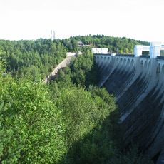
Dam of the Vesdre
3.7 km
Land of Eupen
2.9 km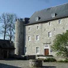
Château de Raeren
3.5 km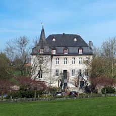
Castle Libermé
4.2 km
Wesertalsperre
3.4 km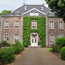
Schloss Thal
3.9 km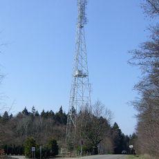
Sender Raeren-Petergensfeld
4.3 km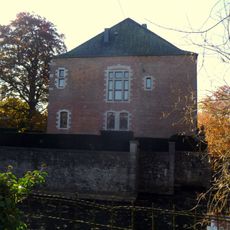
Waldenburghaus
4.4 km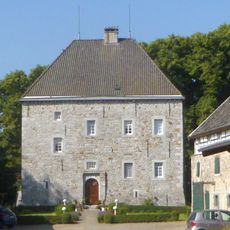
Castle Gross Weims
4.7 km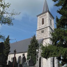
Sankt Nikolauskirche
3 km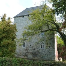
Haus Raeren
3.4 km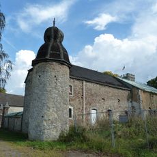
Knoppenburg
2.2 km
Chapel of the Beheading of St. John the Baptist
4.6 km
Church of St. Catherine
4.5 km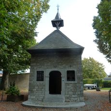
Kapelle St. Anna
3.4 km
House Couvenplatz 1
4.6 km
Weser
4.3 km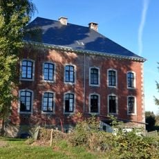
Philippenhaus
4.2 km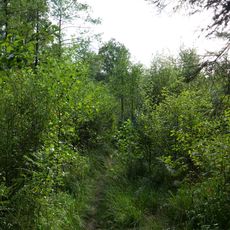
Affluents du lac d'Eupen
4.2 km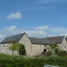
Hof Meurisse
4.4 km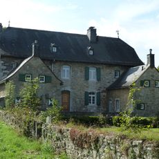
Haus Bergscheid
2.6 km
House Winkelstraße 8
4.5 km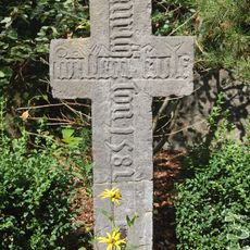
Kule Kreuz
3 km
Wesertalsperre waterworks
3.5 km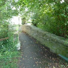
Hohe Brücke und Umgebung
3.3 km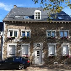
House Nispert 56
4.5 km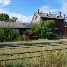
Saxby Stellwerk und der Raerener Bahnhof
2.6 km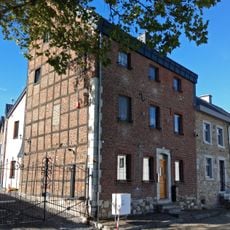
House Nispert 51
4.5 kmReviews
Visited this place? Tap the stars to rate it and share your experience / photos with the community! Try now! You can cancel it anytime.
Discover hidden gems everywhere you go!
From secret cafés to breathtaking viewpoints, skip the crowded tourist spots and find places that match your style. Our app makes it easy with voice search, smart filtering, route optimization, and insider tips from travelers worldwide. Download now for the complete mobile experience.

A unique approach to discovering new places❞
— Le Figaro
All the places worth exploring❞
— France Info
A tailor-made excursion in just a few clicks❞
— 20 Minutes