
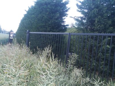
Chemin n° 13
GPS coordinates: 50.67249,5.56560
Latest update: June 1, 2025 15:29
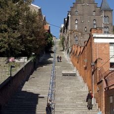
Montagne de Bueren
2.8 km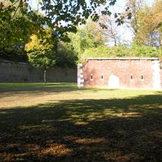
Citadel of Liège
2.5 km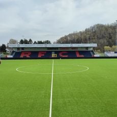
Stade de Rocourt
1.7 km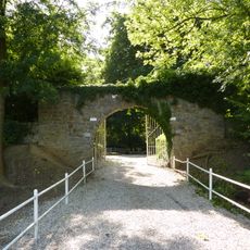
Enclos des fusillés
2.3 km
Au Péri
2.8 km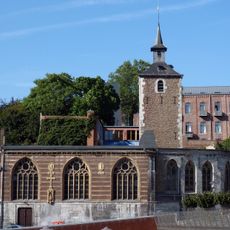
Église Saint-Servais
2.9 km
Maison Mozin
2 km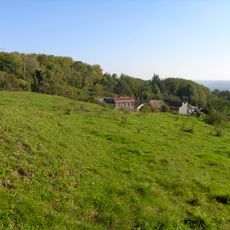
Favechamps
2.5 km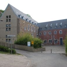
Couvent des Cellites en Volière
2.8 km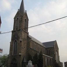
Saint-Walburga church
1.7 km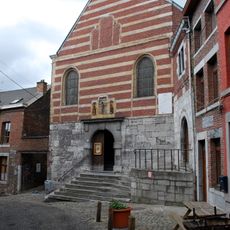
Saint Roch Chapel
2.8 km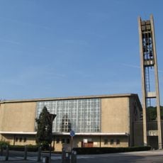
Église Sainte-Julienne de Liège
2.2 km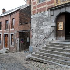
Rue Volière
2.8 km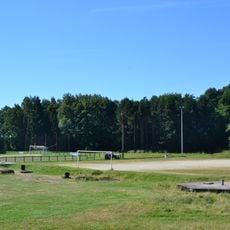
Parc Walthère Dewé
1.7 km
Chemin n° 26
1 km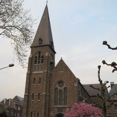
Église Saint-Victor et Saint-Léonard
2.3 km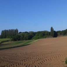
Chemin n° 19
2.1 km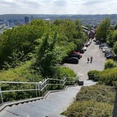
Coteaux de la Citadelle
2.9 km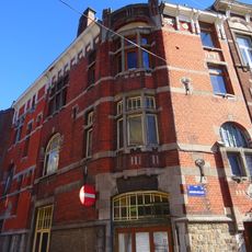
Maison Germeau
2.8 km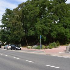
Kasteel van Liers
2.4 km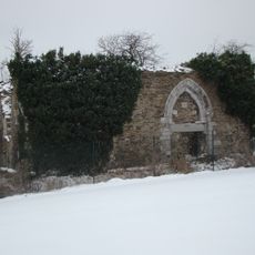
Chapelle du chateau du Bouxthay
2.5 km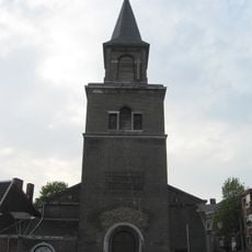
Église Saint-Martin d'Ans
2.8 km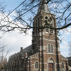
Église Saint-Rémy
2.3 km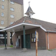
Église Saint-Vincent et Sainte-Barbe
2.5 km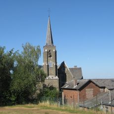
Église Saint-Hubert
2.8 km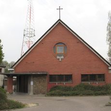
Église Saint-Joseph
1.4 km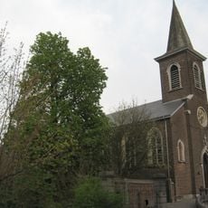
Église Saint-Léon
1.4 km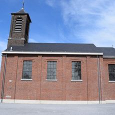
Église Saint-Joseph
1.9 kmReviews
Visited this place? Tap the stars to rate it and share your experience / photos with the community! Try now! You can cancel it anytime.
Discover hidden gems everywhere you go!
From secret cafés to breathtaking viewpoints, skip the crowded tourist spots and find places that match your style. Our app makes it easy with voice search, smart filtering, route optimization, and insider tips from travelers worldwide. Download now for the complete mobile experience.

A unique approach to discovering new places❞
— Le Figaro
All the places worth exploring❞
— France Info
A tailor-made excursion in just a few clicks❞
— 20 Minutes