Lake Abitibi, Lake in Ontario and Quebec, Canada
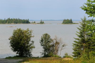
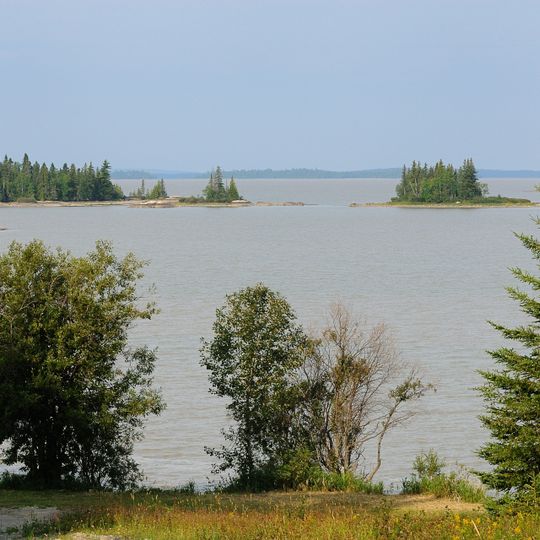
Lake Abitibi is a large body of water that lies across the border between Ontario and Quebec in Canada. It has a long, narrow shape, stretching about 56 miles (90 kilometers) from end to end and reaching a width of roughly 14 miles (22 kilometers) at its broadest point.
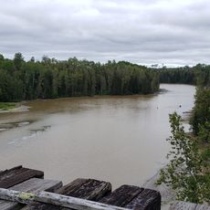
The lake formed at the end of the last ice age, when meltwater filled a basin carved by glaciers. In the early 20th century, the arrival of the railway and logging operations brought new activity to its shores, though the area remained largely undeveloped.
The lake is central to the traditional territory of the Anishinaabe people, who have long used its shores for fishing and gathering. Today, visitors may notice the remains of old fishing camps and the continuing presence of Indigenous families who return each season.
The lake is best reached by road from the towns of Iroquois Falls in Ontario or La Sarre in Quebec, with gravel access roads leading to several points along the shore. Visitors should plan for limited services around the lake and bring their own supplies, as facilities are few and far between.
Despite its size, the lake has no permanent settlements along its shoreline, and much of the surrounding land remains forest and wetland. Its waters are shallow in many places, creating wide areas of marsh that attract waterfowl.
The community of curious travelers
AroundUs brings together thousands of curated places, local tips, and hidden gems, enriched daily by 94,481 contributors worldwide.