Montmagny, Regional municipality in Chaudière-Appalaches, Quebec, Canada
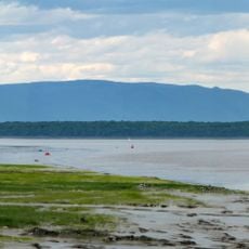
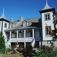
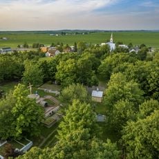
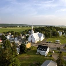
Montmagny is a regional municipality in Quebec situated between the Saint Lawrence River estuary and the Appalachian Mountains. The territory combines fertile lowlands in the north with more rugged terrain to the south.
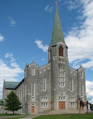
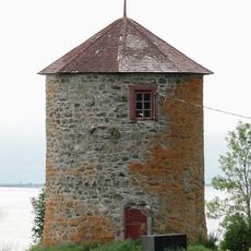
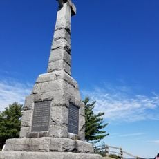
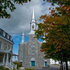
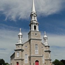
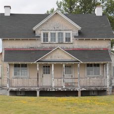
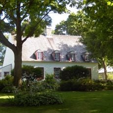
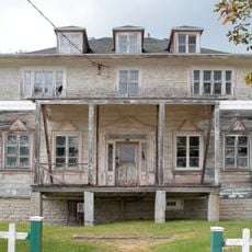
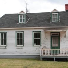
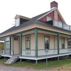
The municipality was named after Charles de Montmagny, the first governor of New France during the early colonial era. The region became part of the French colonial settlement and remained a significant part of French heritage in North America.
The town hosts two major annual festivals that draw visitors and reflect what matters to local residents. The accordion and snow goose celebrations reveal traditions that have become central to how people here mark their year.
The municipality offers various facilities including sports arenas, swimming pools, and public parking in several locations. Visitors will also find electric charging stations and should consider seasonal conditions when planning their visit.
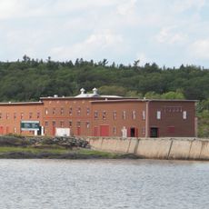
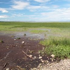
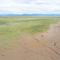
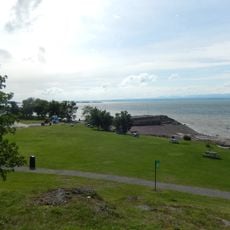
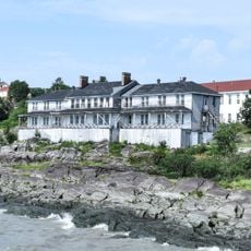
The South River runs through the urban area and merges with other waterways before flowing into the Saint Lawrence River. This river system shapes the geography and creates distinct natural zones throughout the territory.
Location: Montmagny
Inception: April 2, 1966
Shares border with: Berthier-sur-Mer, Cap-Saint-Ignace, Notre-Dame-du-Rosaire, Saint-Antoine-de-l'Isle-aux-Grues, Saint-Pierre-de-la-Rivière-du-Sud
Website: https://ville.montmagny.qc.ca
GPS coordinates: 46.98333,-70.55000
Latest update: December 8, 2025 13:44
Grosse Isle
10.5 km
Île aux Grues
8.5 km
Vincelotte Windmill
11.2 km
Grosse Île and the Irish Memorial National Historic Site
10.2 km
Étienne-Paschal Taché House
680 m
Cap-Saint-Ignace Migratory Bird Sanctuary
8.4 km
Montmagny Migratory Bird Sanctuary
0 m
Church of St Francis de Sales, Saint-François-de-la-Rivière-du-Sud
16.4 km
Cemetery of Saint-Pierre-de-la-Rivière-du-Sud
9.9 km
Church Saint-Pierre-du-Sud
9.6 km
Noyau institutionnel de Cap-Saint-Ignace
9.3 km
Building 42
10.3 km
Building 48
10.2 km
Church of St Ignatius
9.3 km
Église Notre-Dame-des-Prairies
16.3 km
Building 29
10.2 km
Manoir et four à pain Couillard
304 m
Building 39
10.4 km
Building 38
10.3 km
Building 77
10 km
Building 14
10.3 km
Building 84
10.1 km
Site patrimonial du Manoir-Dénéchaud
15 km
Manoir Gamache
8.6 km
Building 49
10.2 km
Building 71
10.1 km
Building 16
10.2 km
Building 34
10.3 kmVisited this place? Tap the stars to rate it and share your experience / photos with the community! Try now! You can cancel it anytime.
Discover hidden gems everywhere you go!
From secret cafés to breathtaking viewpoints, skip the crowded tourist spots and find places that match your style. Our app makes it easy with voice search, smart filtering, route optimization, and insider tips from travelers worldwide. Download now for the complete mobile experience.
A unique approach to discovering new places❞
— Le Figaro
All the places worth exploring❞
— France Info
A tailor-made excursion in just a few clicks❞
— 20 Minutes