Mont-Tremblant, Mountain city in Laurentian Mountains, Quebec, Canada.
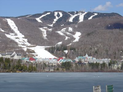
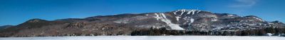
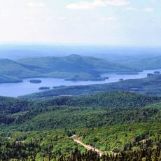
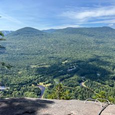
Mont-Tremblant is a city nestled in the Laurentian Mountains with dense forests, several lakes, and peaks reaching 968 meters in elevation. The terrain spans across a large area, offering natural diversity between hills and waterways.
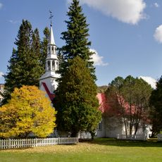
The area was originally settled by Algonquin people before European settlers arrived and established a permanent community. Formal religious establishment under Father Antoine Labelle marked a turning point in the location's development in the late 1800s.
The name comes from an Algonquin word meaning 'trembling mountain,' a reference that still echoes in conversations with locals today. You notice how nature shapes daily life and community values as you walk through the town.
The location offers year-round outdoor activities that change with the seasons, from hiking in summer to winter sports when snow arrives. Visitors should prepare for varying weather conditions and bring different gear depending on what time of year they visit.
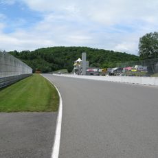
The town hosts an international racing circuit that draws motorsport enthusiasts and regularly holds competitions. This facility gives the location an unexpected sporting dimension alongside its natural setting.
The community of curious travelers
AroundUs brings together thousands of curated places, local tips, and hidden gems, enriched daily by 60,000 contributors worldwide.