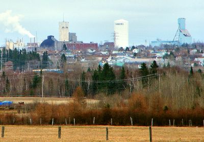
Timmins, Mining city in Northeastern Ontario, Canada.
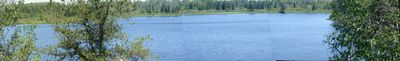
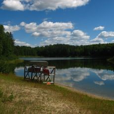
Timmins is a city in Cochrane District, Northeastern Ontario, Canada, that spreads along the Mattagami River and is surrounded by dense forests and numerous lakes. The settlement sits at an elevation of around 295 meters (approximately 970 feet) and is shaped by mineral-rich geological formations that define the surrounding landscape.
The discovery of gold deposits in the early 1900s brought miners to the region, and the city was officially incorporated in 1912. Growth continued as new mineral deposits were developed, making the place a major mining center in the north.
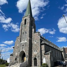
The name comes from Noah Timmins, an early mining entrepreneur, and the city brings together English-speaking and French-speaking communities in daily life. Visitors notice the mix of mining culture and First Nations influences reflected in local events and crafts.
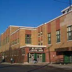
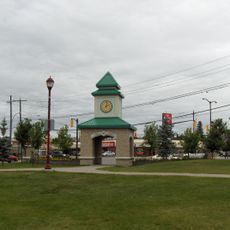
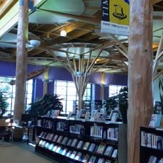
The city offers three shopping centers, recreation facilities, and a wide network of snowmobile trails leading into the surrounding forests. Visitors should prepare for colder weather and bring sturdy footwear for outdoor activities, especially during winter months.
A large fire in 1911 destroyed the original mining camp but exposed new mineral deposits that were later extracted. This unexpected effect contributed to the long-term economic development of the region.
Location: Cochrane District
Location: Ontario
Inception: 1912
Elevation above the sea: 294.7 m
Part of: Northern Ontario
Shares border with: Unorganized North Cochrane District
Website: http://timmins.ca
GPS coordinates: 48.47167,-81.33139
Latest update: December 19, 2025 00:30
Kettle Lakes Provincial Park
35.7 km
McIntyre Community Building
2.6 km
Hollinger Park
915 mMountjoy Historical Conservation Area
1.7 kmKamiskotia Falls
18.5 kmWhite Waterfront Conservation Area
9.4 km
Timmins Museum National Exhibitions Centre
406 mHersey Lake Conservation Area
5.9 kmWawaitin Falls
18.4 kmPorcupine Art Club
1.1 kmNight Hawk Lake Shoreline Bluffs Conservation Reserve
33.9 kmTatachikapika River Plain Conservation Reserve
28.8 kmSandy Falls
9.3 kmGillies Lake Conservation Area
1.1 kmFrederick House Lake Provincial Nature Reserve
35.7 kmSerpentine Mountain
27.4 kmPigeon Rapids
11.1 km
Saint Anthony of Padua Roman Catholic Cathedral
695 mThe Porcupine Dante Club
203 mJack Pine Lake Lookout
6.6 kmRainbow Lake Lookout
7 kmScenic viewpoint
22.6 kmScenic viewpoint
22.5 kmScenic viewpoint
22.4 kmScenic viewpoint
22.4 kmSouth Shore Overlook
5.8 kmScenic viewpoint
678 mWaterfall
20.5 kmVisited this place? Tap the stars to rate it and share your experience / photos with the community! Try now! You can cancel it anytime.
Discover hidden gems everywhere you go!
From secret cafés to breathtaking viewpoints, skip the crowded tourist spots and find places that match your style. Our app makes it easy with voice search, smart filtering, route optimization, and insider tips from travelers worldwide. Download now for the complete mobile experience.
A unique approach to discovering new places❞
— Le Figaro
All the places worth exploring❞
— France Info
A tailor-made excursion in just a few clicks❞
— 20 Minutes