Fort Richelieu, Military fort in Sorel-Tracy, Canada
Fort Richelieu was a French military installation at the strategic junction of the Richelieu and St. Lawrence Rivers. The fort served as a critical defense point and controlled the waterways essential for trade and military operations in New France.
Governor Charles Huault de Montmagny established the fort in 1642 to protect French settlements and fur trade routes from Haudenosaunee attacks. This founding was part of French strategy to consolidate power in the St. Lawrence Valley and secure their trading networks.
The fort marked a meeting point between French colonial interests and territories of First Nations peoples, including the Algonquin-Anishinaabe and Huron-Wendat. Different groups asserted their claims on the land and its resources at this strategic location.
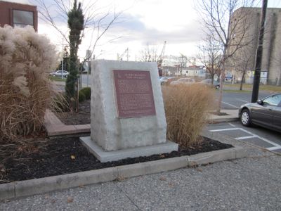
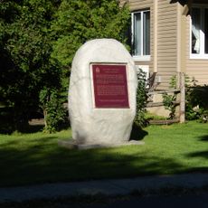
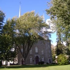
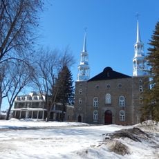
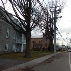
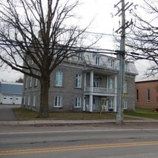
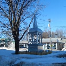
The fort can be found today at a commemorative marker on du Roi Street near du Fort Street in Sorel-Tracy. The location is conveniently accessible within the city and offers information about the colonial fortifications at this historic site.
Archaeological work at this site continues to reveal artifacts from the 17th century that shed light on the daily life of colonists. These discoveries help researchers understand how people lived and worked in this early military installation.
The community of curious travelers
AroundUs brings together thousands of curated places, local tips, and hidden gems, enriched daily by 60,000 contributors worldwide.