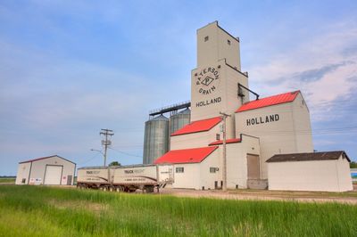
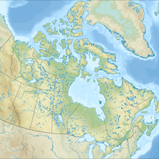
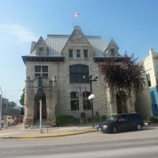
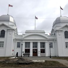
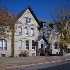
Victoria, rural municipality in Manitoba, Canada
Location: Manitoba
Shares border with: Glenboro – South Cypress, North Cypress – Langford
Website: https://rmofvictoria.com
GPS coordinates: 49.66420,-98.89560
Latest update: March 3, 2025 22:30
Spruce Woods Provincial Park
15.4 km
Camp Hughes
53.1 km
Fort La Reine
51.8 km
Happy Rock
62 km
Manitoba Agricultural Museum
29.3 km
Art Gallery of Southwestern Manitoba
78.4 km
Assiniboine Corridor Wildlife Management Area
31 km
National Indigenous Residential School Museum of Canada
52.7 km
MacGregor Canadian Pacific Railway Water Tower
29.3 km
Yellow Quill Provincial Park
52 km
Brandon Central Fire Station
78.3 km
Roxy Theatre
74.8 km
Maley House
78.7 km
Flee Island Dakota Entrenchment
72.3 km
Burchill and Howey Block
78.6 km
Neepawa Courthouse
74.9 km
Portage la Prairie Public Building
55.6 km
Dominion Exhibition Display Building II
78.6 km
Wawanesa Mutual Insurance Company Building
57.4 km
Lorne Terrace
78.7 km
Johnson House
78.2 km
Fraser Block
78.7 km
Brandon Mental Health Centre Nurses' Residence
78.2 km
A.E. McKenzie Company Building
78.6 km
Villa Louise, Dr. Alexander Fleming House
78.3 km
Margaret Laurence House
75.3 km
Merchants Bank Building
78.7 km
Paterson/Matheson House
78.6 kmReviews
Visited this place? Tap the stars to rate it and share your experience / photos with the community! Try now! You can cancel it anytime.
Discover hidden gems everywhere you go!
From secret cafés to breathtaking viewpoints, skip the crowded tourist spots and find places that match your style. Our app makes it easy with voice search, smart filtering, route optimization, and insider tips from travelers worldwide. Download now for the complete mobile experience.
A unique approach to discovering new places❞
— Le Figaro
All the places worth exploring❞
— France Info
A tailor-made excursion in just a few clicks❞
— 20 Minutes