
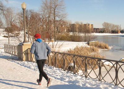
Corridor de la Rivière-Saint-Charles
Location: Quebec City
Inception: 1999
Part of: Quebec City cycling network
GPS coordinates: 46.82333,-71.23667
Latest update: September 23, 2025 16:49
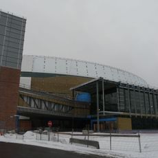
Videotron Centre
1.1 km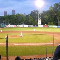
Stade Canac
626 m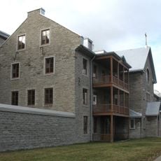
Hôpital-Général de Québec
1 km
Machine de cirque
1.3 km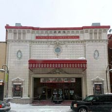
Impérial Bell
1.3 km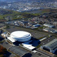
ExpoCité
943 m
Pavillon de la Jeunesse
970 m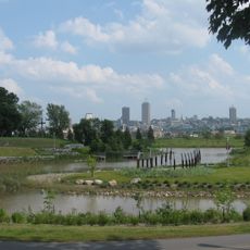
Cartier-Brébeuf National Historic Site
316 m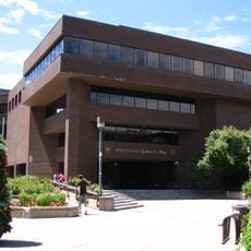
Bibliothèque Gabrielle-Roy
1.4 km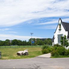
Parc Victoria
736 m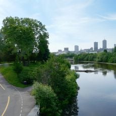
Parc Linéaire des Rivières Saint-Charles et du Berger
259 m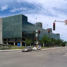
Quebec City Courthouse
1.7 km
Church of St Charles
1.1 km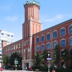
La Fabrique
1.4 km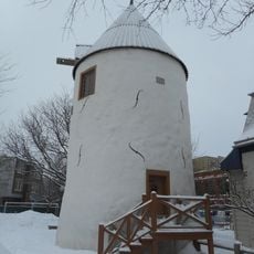
Moulin à vent de l'Hôpital-Général-de-Québec
1.2 km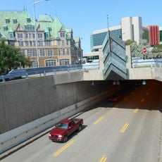
Joseph-Samson Bridge–Tunnel
1.7 km
Dorchester Bridge
1.1 km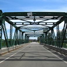
Lavigueur bridge
269 m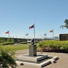
Parc de l'Amérique-Latine
1.7 km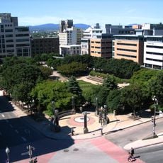
Jardin de Saint-Roch
1.6 km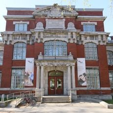
Ancienne école technique de Québec
1.2 km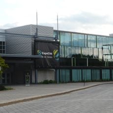
Centre de foires de Québec
1 km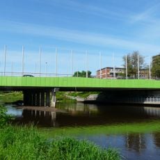
Marie-de-l'Incarnation bridge
1.6 km
Parc du boulevard Langelier
1.6 km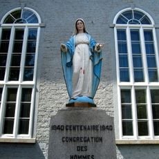
Monument de l'Immaculée-Conception
1.3 km
La chair des rêves
1.4 km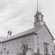
Église de Notre-Dame-de-Jacques-Cartier
1.3 km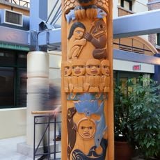
Totem pole
1.4 kmReviews
Visited this place? Tap the stars to rate it and share your experience / photos with the community! Try now! You can cancel it anytime.
Discover hidden gems everywhere you go!
From secret cafés to breathtaking viewpoints, skip the crowded tourist spots and find places that match your style. Our app makes it easy with voice search, smart filtering, route optimization, and insider tips from travelers worldwide. Download now for the complete mobile experience.

A unique approach to discovering new places❞
— Le Figaro
All the places worth exploring❞
— France Info
A tailor-made excursion in just a few clicks❞
— 20 Minutes