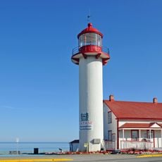
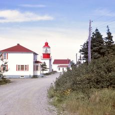
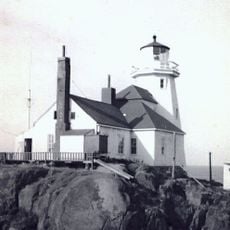
Rivière-Pentecôte, Administrative sector in Port-Cartier, Canada.
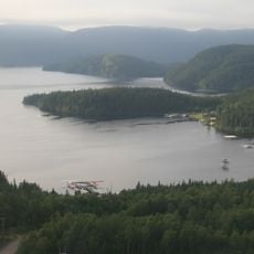
Rivière-Pentecôte is a village on the north shore of the Gulf of Saint Lawrence, between Quebec Route 138 and the Pointe de la Rivière. The Riverin River runs through the community, and the larger Pentecôte River enters the gulf just south of it. The village is an administrative sector of Port-Cartier, in Sept-Rivières.
A mission, Saint-Patrice-de-la-Rivière-Pentecôte, was founded in 1875 at the mouth of the Pentecôte River, about 100 km southwest of Sept-Îles. The Penticost River post office opened in 1884 and took the French form Rivière-Pentecôte in 1933. The municipality was created in 1972 from unorganized territory and amalgamated into Port-Cartier in 2003.
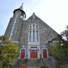
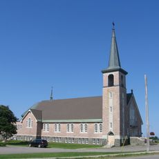
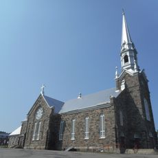
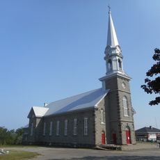
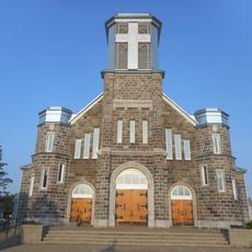
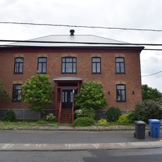
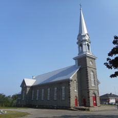
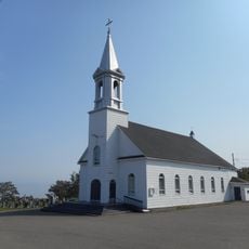
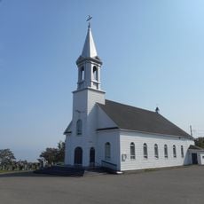
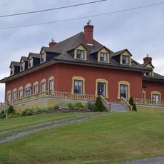
The parish of Saint-Patrice-de-la-Rivière-Pentecôte was founded in 1883; its church was built in 1887 together with the presbytery, and a small chapel dedicated to Sainte Anne followed in 1897. The present presbytery dates from 1904, and the church underwent major repairs between 1960 and 1966. The name Pentecôte refers to Pentecost, the day Jacques Cartier passed the river in 1535; the Innu call the place Mistecapiu, "abrupt rock".
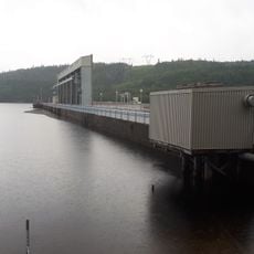
The village lies between Quebec Route 138 and the Pointe de la Rivière, with the Riverin River crossing it and the larger Pentecôte River reaching the Saint Lawrence just south. The Barrage de la Rivière-Riverin, a 90.5-metre concrete dam on a rock foundation, stands just east of Route 138. The Pentecôte weather station records an average annual temperature of 1.9 °C and 1,154 mm of rainfall.
The Barrage de la Rivière-Riverin, a 90.5-metre concrete dam on a rock foundation, was built in 1946 and holds 180,999 cubic metres in a 10.6-hectare reservoir. Its 2.01 MW plant, owned by Pouvoir Riverin and Algonquin Power Fund (Canada), began operating in 1999.
The community of curious travelers
AroundUs brings together thousands of curated places, local tips, and hidden gems, enriched daily by 94,001 contributors worldwide.