
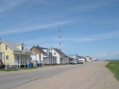
Pessamit, Indian reserve in Quebec, Canada
Location: Manicouagan
Shares border with: Rivière-aux-Outardes
Website: http://pessamit.ca
GPS coordinates: 48.95000,-68.65000
Latest update: March 4, 2025 01:13

Jardins de Métis
52.7 km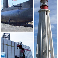
Site historique maritime de la Pointe-au-Père
49.9 km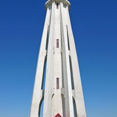
Pointe-au-Père Lighthouse
49.9 km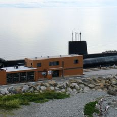
Project Onondaga
50.1 km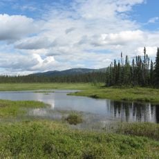
Manicouagan Uapishka Biosphere Reserve
49.2 km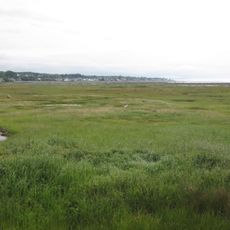
Pointe-au-Père National Wildlife Area
51 km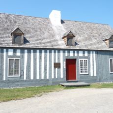
Maison Lamontagne
53.1 km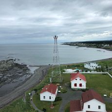
Sous-marin Onondaga
50 km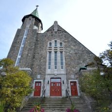
Church of St Amelia
47.3 km
Notre-Dame-de-Lourdes Church
52.9 km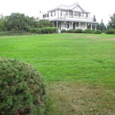
Estevan Lodge
52.2 km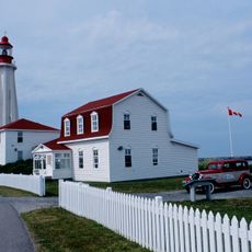
Pointe-au-Père Lightstation
49.9 km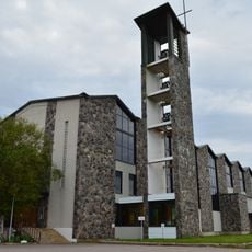
St. John Eudes Cathedral, Baie-Comeau
38.8 km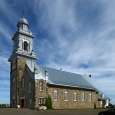
Sainte-Luce Church
48.6 km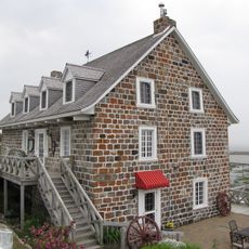
Moulin banal du Ruisseau-à-la-Loutre
49 km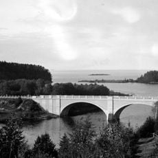
Arthur-Bergeron Bridge
52.4 km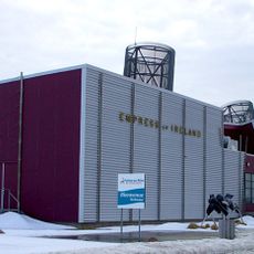
Empress of Ireland Museum
50 km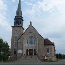
Sanctuaire de Sainte-Anne-de-la-Pointe-au-Père
50.3 km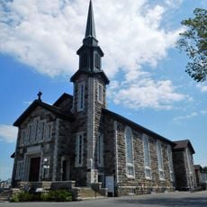
Sainte-Flavie Church
48.7 km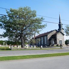
Site du patrimoine Flavie-Drapeau
48.7 km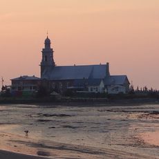
Site de l'église et du cimetière de Sainte-Luce
48.6 km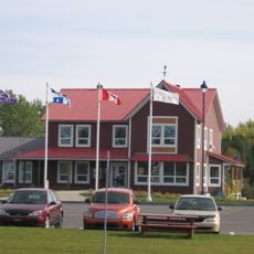
Gaspésie Tourism Office in Mont-Joli
51.3 km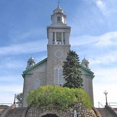
Notre-Dame-de-Lourdes
51.9 km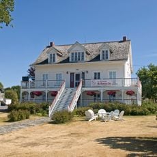
Ancien presbytère de Sainte-Flavie
48.8 km
Batture aux Outardes
14.4 km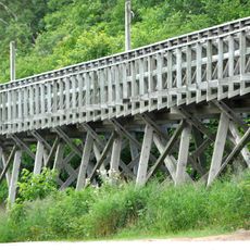
Arboriduc de Forestville
38.1 km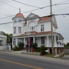
Château Landry
52.8 km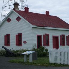
Fog Alarm Building
49.9 kmReviews
Visited this place? Tap the stars to rate it and share your experience / photos with the community! Try now! You can cancel it anytime.
Discover hidden gems everywhere you go!
From secret cafés to breathtaking viewpoints, skip the crowded tourist spots and find places that match your style. Our app makes it easy with voice search, smart filtering, route optimization, and insider tips from travelers worldwide. Download now for the complete mobile experience.

A unique approach to discovering new places❞
— Le Figaro
All the places worth exploring❞
— France Info
A tailor-made excursion in just a few clicks❞
— 20 Minutes