
John Cook Bridge, Covered bridge in Quebec
Location: Cookshire-Eaton
Length: 40.54 m
Made from material: wood
GPS coordinates: 45.42210,-71.63250
Latest update: March 18, 2025 13:29
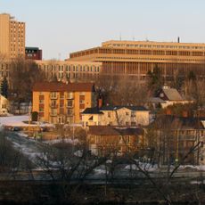
Cégep de Sherbrooke
19.8 km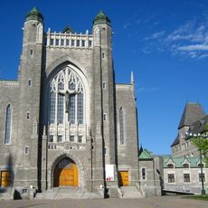
Saint-Michel Basilica-Cathedral
20.5 km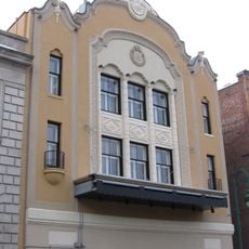
Granada Theatre
20.3 km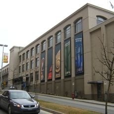
Sherbrooke Nature and Science Museum
20.7 km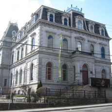
Sherbrooke Museum of Fine Arts
20.6 km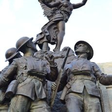
Sherbrooke War Memorial
20.4 km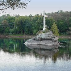
Le Mena'sen
20.7 km
Saint-Isidore-d'Auckland
19.6 km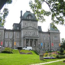
Sherbrooke City Hall
20.5 km
Johnville Bog & Forest Park
12.1 km
Pont Aylmer
20 km
Musée d'histoire de Sherbrooke
20.6 km
Église Saint-Jean-Baptiste
19.5 km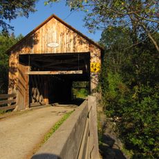
Pont de Milby
19.1 km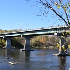
Pont Saint-François
20.4 km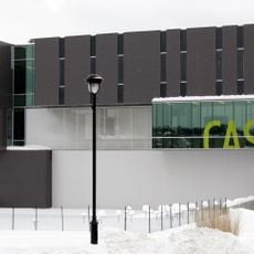
Centre des arts de la scène Jean-Besré
20.1 km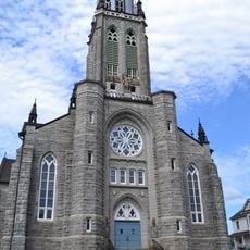
Church of St Louis of France
7.2 km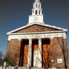
Église Plymouth Trinity
20.7 km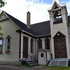
Église Emmanuel United Church
7 km
Église d'Eaton Corner
6.9 km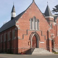
Chapelle Saint-Mark de Bishop's University
18.1 km
Académie d'Eaton Corner
7 km
Église Christ Church d’East Angus
7.5 km
Centre culturel et du patrimoine Uplands
18.8 km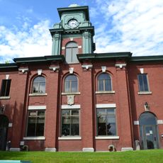
Bureau de poste d’East Angus
7.3 km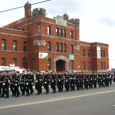
Sherbrooke Armoury
20.7 km
Presbytère de Saint-Louis-de-France
7.2 km
École Milby
19.4 kmReviews
Visited this place? Tap the stars to rate it and share your experience / photos with the community! Try now! You can cancel it anytime.
Discover hidden gems everywhere you go!
From secret cafés to breathtaking viewpoints, skip the crowded tourist spots and find places that match your style. Our app makes it easy with voice search, smart filtering, route optimization, and insider tips from travelers worldwide. Download now for the complete mobile experience.

A unique approach to discovering new places❞
— Le Figaro
All the places worth exploring❞
— France Info
A tailor-made excursion in just a few clicks❞
— 20 Minutes