Chest opened
+${chestReward.xp} XP
Explorer
NOUVEAU ×${chestReward.collectible.quantity}
tapez pour fermer

See the monuments around you in AR Open chests in the app

Around Us is built for your phone — point your camera at the streets and discover the monuments and places around you in augmented reality. Around Us is built for your phone — chests unlock when you walk, explore and capture nearby places.

•

Enable Location

We need your location to show you interesting places around you

Discover nearby places

Find interesting locations and hidden gems around you

Precise directions

Get accurate directions and distances to places

Your location is never shared with other users. It's only used when you tap the location button.

Beaver Creek Provincial Park

Log in to your account

Start exploring — it's free

Trusted by 94,393 travelers worldwide

Continue with Google
Continue with Apple
or

We will send you a code to connect

By continuing, you accept our Terms and Conditions and our Privacy Policy

Check your inbox

We've sent a pincode in your inbox. Please enter the code below.

Beaver Creek Provincial Park

Beaver Creek Provincial Park, Provincial park on Lake Winnipeg, Manitoba, Canada

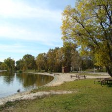
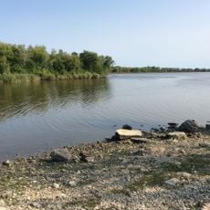
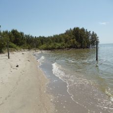
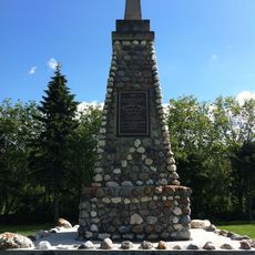
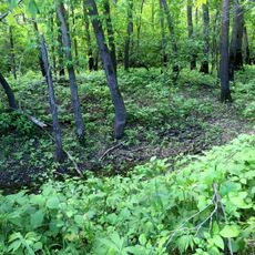
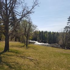
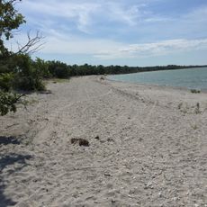
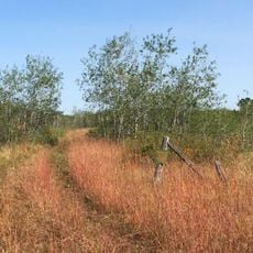
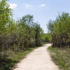
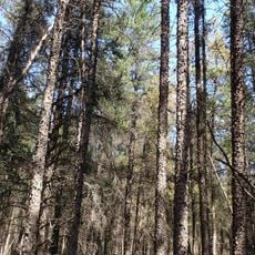
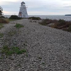
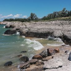
Beaver Creek Provincial Park is a protected area along Lake Winnipeg's shoreline, stretching across roughly 2 kilometers of waterfront. Mature birch forests dominate the landscape near Washow Bay, creating natural habitats and a wooded setting for visitors.

The province of Manitoba developed the site for recreational use in the mid-1950s, on the west shore of Washow Bay at the mouth of Beaver Creek. It later became a provincial park; the sources give no founding date of 1961. It is the most northerly provincial campground on Lake Winnipeg.

The park lies on the west shore of Washow Bay, about 190 km north of Winnipeg, in Manitoba's North Interlake Region. Its name comes from Beaver Creek, which empties into Lake Winnipeg at the park's edge, and the site has been run as a provincial campground since the mid-1950s.

The site can be reached via Provincial Road 234, which runs along the western boundary and makes access straightforward. Camping facilities, hiking trails, and fishing spots are well distributed throughout the park.

The park protects a 2 km stretch on the west shore of Washow Bay, the most northerly provincial campground on Lake Winnipeg. Its western edge follows Provincial Road 234, and the site lies about 190 km north of Winnipeg.

The community of curious travelers

AroundUs brings together thousands of curated places, local tips, and hidden gems, enriched daily by 94,393 contributors worldwide.

Start exploring
Location
Inception
June 7, 1961
GPS coordinates
51.37639,-96.91556
Latest update
October 24, 2026 20:57
Reviews
Share your experience

No review yet

Discussions
Start a discussion...

No discussion yet

« Beaver Creek Provincial Park - Provincial park on Lake Winnipeg, Manitoba, Canada » is provided by Around Us (aroundus.com). Images and texts are derived from Wikimedia project under a Creative Commons license. You are allowed to copy, distribute, and modify copies of this page, under the conditions set by the license, as long as this note is clearly visible.

Discover hidden gems everywhere you go!

From secret cafés to breathtaking viewpoints, skip the crowded tourist spots and find places that match your style. Our app makes it easy with voice search, smart filtering, route optimization, and insider tips from travelers worldwide. Download now for the complete mobile experience.
Around Us App Screenshot
❝

A unique approach to discovering new places❞

— Le Figaro

❝

All the places worth exploring❞

— France Info

❝

A tailor-made excursion in just a few clicks❞

— 20 Minutes

Around Us
Travel Guide & Maps
Download

Send to your phone

QR Code
1

Open the camera app on your mobile.

2

Point at the QR code with your camera. A notification will appear.

3

Tap the notification to open the link.