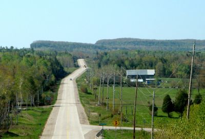
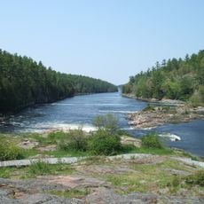
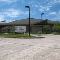
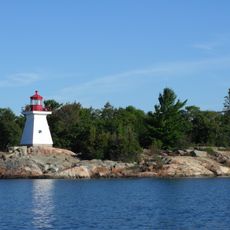
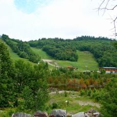
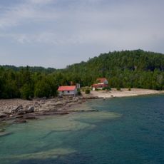
Northeastern Manitoulin and the Islands, municipality in Ontario, Canada
The community of curious travelers
AroundUs brings together thousands of curated places, local tips, and hidden gems, enriched daily by 60,000 contributors worldwide.
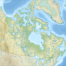
Location
Inception
January 1, 1998
Shares border with
Billings
Website
GPS coordinates
45.96670,-81.93330
Latest update
March 5, 2025 15:46