
Unorganized West Manitoulin District, unorganized area in Ontario, Canada
Location: Manitoulin District
GPS coordinates: 45.86670,-83.00000
Latest update: March 25, 2025 20:47
La Cloche Provincial Park
79.9 km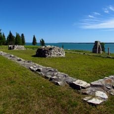
Fort St. Joseph
76.5 km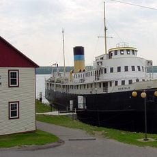
SS Norisle
63.1 km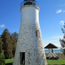
Old Presque Isle Light
69.3 km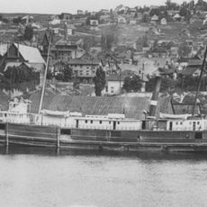
SS Russia (1872)
45.2 km
Hoeft State Park
81.8 km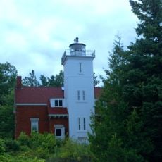
Forty Mile Point Light
82.7 km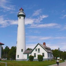
New Presque Isle Light
68.5 km
Rockport State Recreation Area
80.4 km
Chutes Provincial Park
81.9 km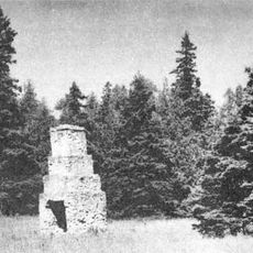
Fort Drummond
67.8 km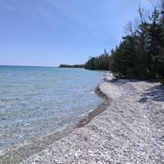
Thompson's Harbor State Park
73.3 km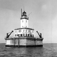
DeTour Reef Light
70.6 km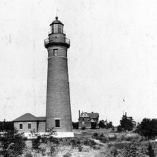
Middle Island Light
79 km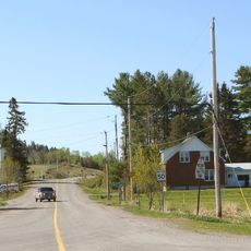
Rydal Bank Church
79.5 km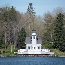
Round Island Light
83.4 km
Radka-Bradley House
80.8 km
St. Joseph's Island Migratory Bird Sanctuary
75.6 km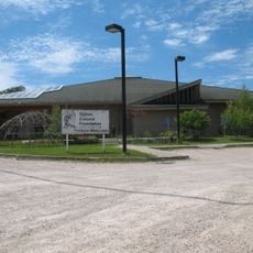
Ojibwe Cultural Foundation
65.1 km
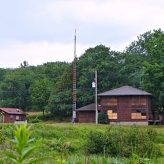
Fire Tower Mountain
45.8 km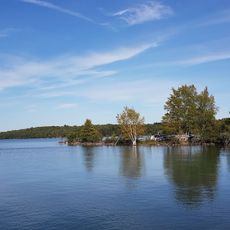
Drummond Island Historical Museum
60.3 km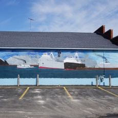
Great Lakes Lore Maritime Museum
80.7 km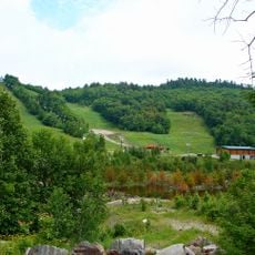
Mount Dufour
65.2 km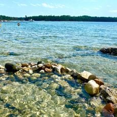
Big Shoal Beach
47.3 km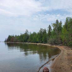
Glen Cove Beach
44.2 km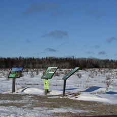
Maxton Plains
56.6 km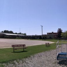
Detour Area School And Public Library
71.5 km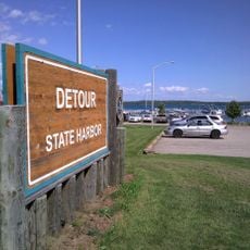
Detour State Harbor
71.3 kmReviews
Visited this place? Tap the stars to rate it and share your experience / photos with the community! Try now! You can cancel it anytime.
Discover hidden gems everywhere you go!
From secret cafés to breathtaking viewpoints, skip the crowded tourist spots and find places that match your style. Our app makes it easy with voice search, smart filtering, route optimization, and insider tips from travelers worldwide. Download now for the complete mobile experience.

A unique approach to discovering new places❞
— Le Figaro
All the places worth exploring❞
— France Info
A tailor-made excursion in just a few clicks❞
— 20 Minutes