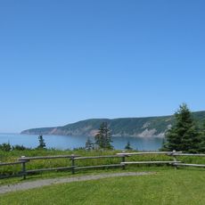
Dory Rips, Maritime feature near Lunenburg, Nova Scotia, Canada.
Dory Rips is a coastal water formation near Lunenburg with strong currents and distinctive wave patterns that challenge navigation. These conditions result from tidal forces and underwater features that create rough and unpredictable sea conditions.
The area became known in the 19th century when fishermen used dories for Grand Banks fishing operations. These waters played a central role in the region's fishing economy during that era.
Fishermen in the area developed special techniques to guide their boats through these waters, shaping local maritime identity. These skills passed through generations and remain part of how people here connect to the sea.
Check tidal schedules and local warnings about water conditions before visiting the area. The best viewing and safer times are during low tide and calmer sea conditions.
The challenging water conditions here directly influenced the design of local fishing boats, shaping their hull forms and weight distribution. These boats became known for handling rough Atlantic waters with impressive reliability.
The community of curious travelers
AroundUs brings together thousands of curated places, local tips, and hidden gems, enriched daily by 60,000 contributors worldwide.