Chest opened
+${chestReward.xp} XP
Explorer
NOUVEAU ×${chestReward.collectible.quantity}
tapez pour fermer
Chest locked

Open chests in the app

Around Us is built for your phone — chests unlock when you walk, explore and capture nearby places.

Enable Location

We need your location to show you interesting places around you

Discover nearby places

Find interesting locations and hidden gems around you

Precise directions

Get accurate directions and distances to places

Your location is never shared with other users. It's only used when you tap the location button.

Log in to your account

Start exploring — it's free

Trusted by 72,880 travelers worldwide

Continue with Google
Continue with Apple
or

We will send you a code to connect

By continuing, you accept our Terms and Conditions and our Privacy Policy

Check your inbox

We've sent a pincode in your inbox. Please enter the code below.

Aubinadong River
Discussion Reviews Photo
31.8k Popularity

Aubinadong River, River system in Sudbury and Algoma Districts, Ontario, Canada

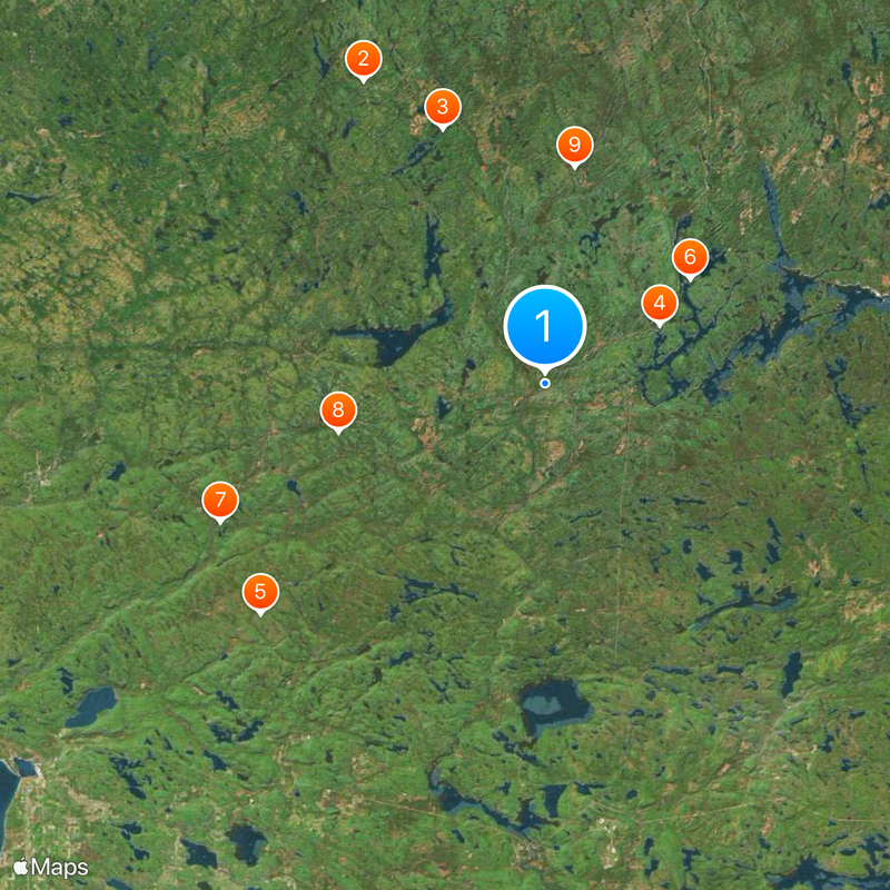
Aubinadong River is a watercourse stretching 98 kilometers through Sudbury and Algoma Districts in Ontario. It flows through protected parkland with wide open sections connected by narrow channels, creating a pattern of broader and tighter passages.

The river is part of the Robinson Huron Treaty of 1850, which established land rights for First Nations communities in the region. This agreement shaped how the territory has been understood and used since that time.

The river served as a travel corridor for people moving between the interior and Lake Huron's shoreline for generations. Visitors today still experience this same connection when paddling between the forested banks and open water.

A complete canoe trip from Five Mile Lake Provincial Park takes about five days and requires camping gear and paddling experience. Best conditions occur during warmer months when water levels remain stable and weather is more predictable.

The riverbed rests on rocks billions of years old, with granite and gneiss formations from the Archean age. These ancient stones shape how the water flows and give the river its distinctive character.

The community of curious travelers

AroundUs brings together thousands of curated places, local tips, and hidden gems, enriched daily by 60,000 contributors worldwide.

Start exploring
Location
Elevation above the sea
421 m
GPS coordinates
46.85694,-83.36417
Latest update
December 20, 2025 01:01
Reviews
Share your experience

No review yet

Discussions
Start a discussion...

No discussion yet

« Aubinadong River - River system in Sudbury and Algoma Districts, Ontario, Canada » is provided by Around Us (aroundus.com). Images and texts are derived from Wikimedia project under a Creative Commons license. You are allowed to copy, distribute, and modify copies of this page, under the conditions set by the license, as long as this note is clearly visible.

Discover hidden gems everywhere you go!

From secret cafés to breathtaking viewpoints, skip the crowded tourist spots and find places that match your style. Our app makes it easy with voice search, smart filtering, route optimization, and insider tips from travelers worldwide. Download now for the complete mobile experience.

Around Us App Screenshot

A unique approach to discovering new places

Le Figaro

All the places worth exploring

France Info

A tailor-made excursion in just a few clicks

20 Minutes

Around Us
Travel Guide & Maps
Download

Send to your phone

QR Code
1

Open the camera app on your mobile.

2

Point at the QR code with your camera. A notification will appear.

3

Tap the notification to open the link.