
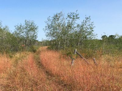
Sandridge Wildlife Management Area, wildlife management area in Manitoba, Canada
Location: Manitoba
Inception: 1969
GPS coordinates: 50.59917,-97.47972
Latest update: March 9, 2025 13:57
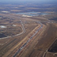
Red River Floodway
68.7 km
Narcisse Snake Dens
15.4 km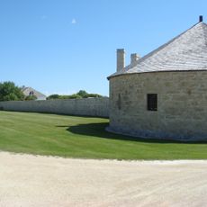
Lower Fort Garry
66.7 km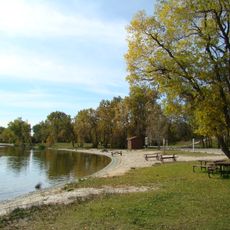
Grand Beach Provincial Park
65 km
Marine Museum of Manitoba
66.7 km
St. Ambroise Beach Provincial Park
55.4 km
Netley Creek Provincial Park
55.7 km
Patricia Beach Provincial Park
64.8 km
Lundar Beach Provincial Park
57.7 km
Camp Morton Provincial Park
36.7 km
Settlers, Rails & Trails
46.6 km
Selkirk Lift Bridge
66.9 km
Lockport Provincial Park
69 km
Hnausa Beach Provincial Park
48 km
Brokenhead Wetland Ecological Reserve
69.6 km
Oak Hammock Marsh Wildlife Management Area
51.8 km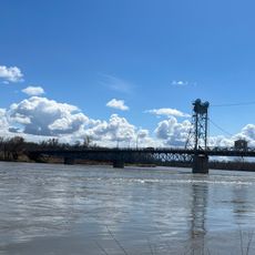
Marine Museum of Manitoba
66.7 km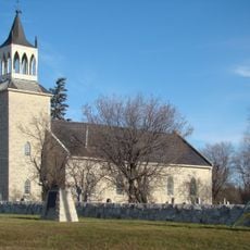
St. Andrew's Anglican Church
69.2 km
St. Andrews
69.1 km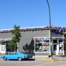
H.P. Tergesen General Store
35.1 km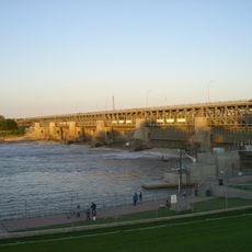
St. Andrews Caméré Curtain Bridge Dam
69 km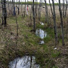
Flee Island Dakota Entrenchment
73 km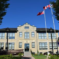
Gimli Public School
35 km
St. Peters
63.3 km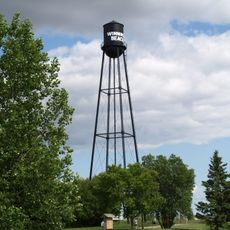
Winnipeg Beach Canadian Pacific Railway Water Tower
39.1 km
Narcisse Wildlife Management Area
16.9 km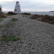
Hecla Island Range Rear Light
68.7 km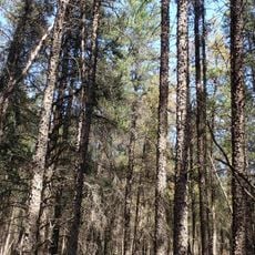
Mars Hill Wildlife Management Area
74.4 kmReviews
Visited this place? Tap the stars to rate it and share your experience / photos with the community! Try now! You can cancel it anytime.
Discover hidden gems everywhere you go!
From secret cafés to breathtaking viewpoints, skip the crowded tourist spots and find places that match your style. Our app makes it easy with voice search, smart filtering, route optimization, and insider tips from travelers worldwide. Download now for the complete mobile experience.

A unique approach to discovering new places❞
— Le Figaro
All the places worth exploring❞
— France Info
A tailor-made excursion in just a few clicks❞
— 20 Minutes