Red River Floodway, Flood bypass in Winnipeg, Canada
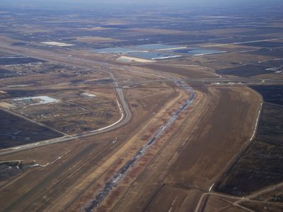
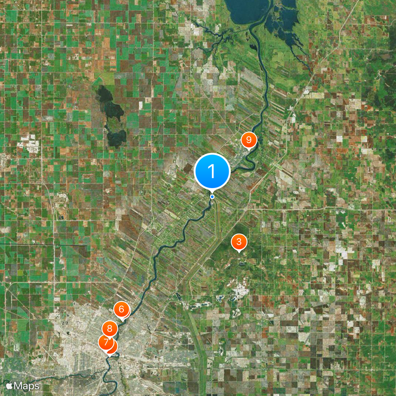
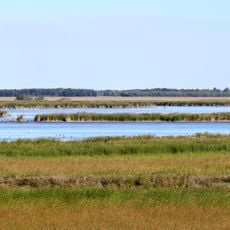
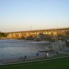
Red River Floodway is a flood bypass east of Winnipeg that runs about 48 kilometers through farmland and outer edges of the city. The system includes a wide channel with inlet structures, control works, and raised earth embankments that together form an alternate route for the river.
The provincial government commissioned construction in the early nineteen sixties after several spring floods submerged large parts of Winnipeg. The channel opened in 1968 and has since prevented millions in damage during many high water events.
Locals sometimes refer to the system as Ditch of Last Resort, a nickname from the nineteen sixties that still appears in conversation today. This expression reflects how residents came to rely on the channel for protection against spring floods.
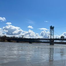
Visitors can walk along embankments and service roads that offer views of the wide channel in certain sections. The control structures near the north entrance are visible from the road when water passes through them.
The inlet gates activate through a computer system that monitors water levels and flow rates on the Red River continuously. When certain thresholds are reached, the gates open automatically and divert water into the channel.
The community of curious travelers
AroundUs brings together thousands of curated places, local tips, and hidden gems, enriched daily by 60,000 contributors worldwide.