
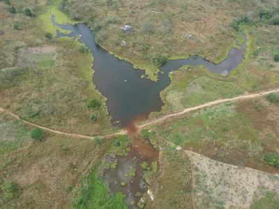
Nana-Mambéré Prefecture, prefecture of the Central African Republic
Location: Central African Republic
Capital city: Bouar
Elevation above the sea: 900 m
Shares border with: Ouham-Pendé Prefecture, Ombella-M'Poko Prefecture, Mambéré-Kadéï
GPS coordinates: 5.50000,15.50000
Latest update: March 4, 2025 01:56
Lamidat de Rey-Bouba
382.6 km
Nouabalé-Ndoki National Park
359.9 km
Dzanga-Sangha Special Reserve
248 km
Dzanga-Ndoki National Park
342.1 km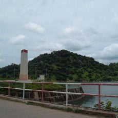
Lagdo Reservoir
419.2 km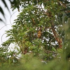
Dja Faunal Reserve
393 km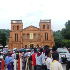
Cathédrale Notre-Dame (Bangui)
363.8 km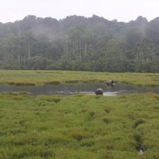
Mbeli Bai
374.8 km
Lobéké National Park
362.9 km
Sangha Trinational
328.7 km
Mont Ngaoui
151.5 km
Chutes de Boali
290.9 km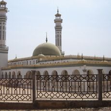
Lamido Grand Mosque
293.2 km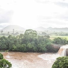
Chute de la Vina
284.7 km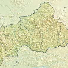
Mbaéré Bodingué National Park
261.9 km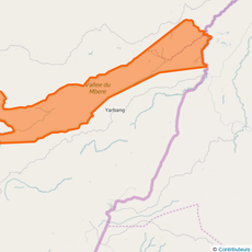
Mbéré Valley National Park
183.7 km
Ngoyla Faunal Reserve
390.7 km
Sacred Heart Cathedral, Moundou
347.6 km
Chutes de Lancrenon
183.6 km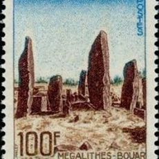
Bouar megaliths
51.5 km
Bouar Sub-Prefecture
55.6 km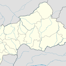
Chutes de Djamila
301.3 km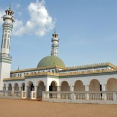
Lamidat de Ngaoundéré
292.9 km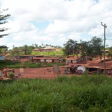
Ville de Lomié
333.4 km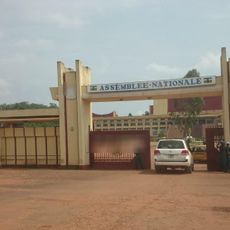
National Assembly of the Central African Republic building
361.3 km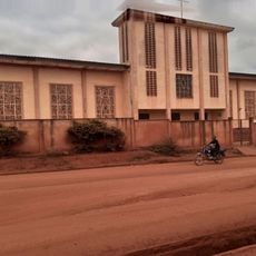
Cathedral of Our Lady of the Immaculate Conception, Batouri
173.2 km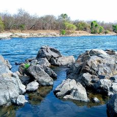
Faro Reserve
429.8 km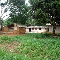
Nki Nationalpark
357.8 kmReviews
Visited this place? Tap the stars to rate it and share your experience / photos with the community! Try now! You can cancel it anytime.
Discover hidden gems everywhere you go!
From secret cafés to breathtaking viewpoints, skip the crowded tourist spots and find places that match your style. Our app makes it easy with voice search, smart filtering, route optimization, and insider tips from travelers worldwide. Download now for the complete mobile experience.

A unique approach to discovering new places❞
— Le Figaro
All the places worth exploring❞
— France Info
A tailor-made excursion in just a few clicks❞
— 20 Minutes