
Sangha-Mbaéré, economic prefecture of the Central African Republic
Location: Central African Republic
Capital city: Nola, Central African Republic
Elevation above the sea: 605 m
Shares border with: Mambéré-Kadéï, Lobaye Prefecture
GPS coordinates: 3.50000,16.08333
Latest update: March 4, 2025 06:54
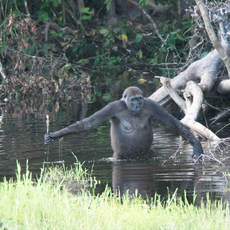
Nouabalé-Ndoki National Park
128.8 km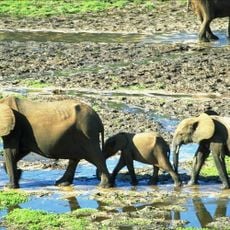
Dzanga-Sangha Special Reserve
28.8 km
Dzanga-Ndoki National Park
111.7 km
Dja Faunal Reserve
348.7 km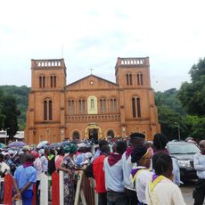
Cathédrale Notre-Dame (Bangui)
293.5 km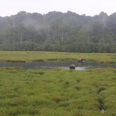
Mbeli Bai
143 km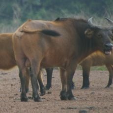
Lobéké National Park
144 km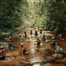
Odzala National Park
326.6 km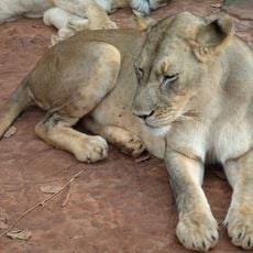
Mefou National Park
464.2 km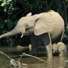
Sangha Trinational
96.8 km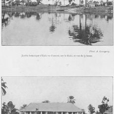
Jardin Botanique d'Eala
456.6 km
Mont Ngaoui
382.7 km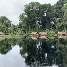
Ntokou-Pikounda National Park
354.5 km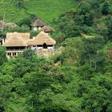
Mont Nabemba
296.9 km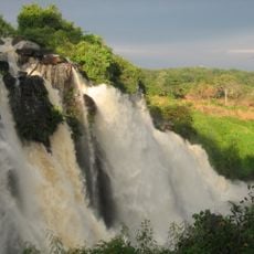
Chutes de Boali
266.4 km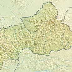
Mbaéré Bodingué National Park
125.9 km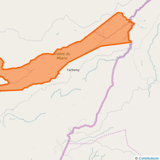
Mbéré Valley National Park
414.3 km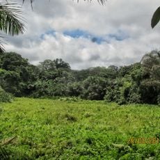
Ngoyla Faunal Reserve
276.8 km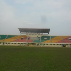
Stade Omnisport Marien Ngouabi d'Owando
444.2 km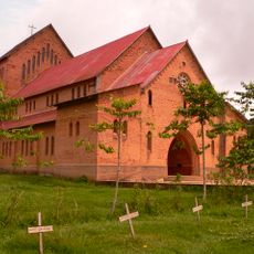
Sts. Peter and Paul Cathedral, Basankusu
484.8 km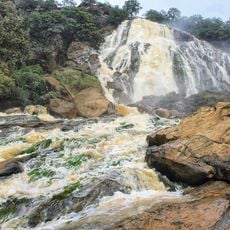
Chutes de Lancrenon
414.8 km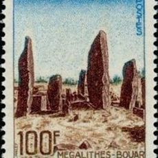
Bouar megaliths
281.7 km
Bouar Sub-Prefecture
286.5 km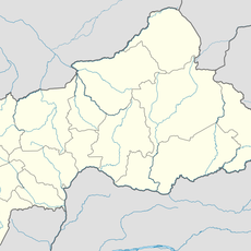
Chutes de Djamila
171.4 km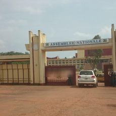
National Assembly of the Central African Republic building
292.8 km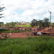
Ville de Lomié
276.6 km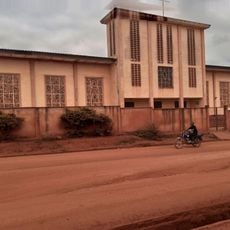
Cathedral of Our Lady of the Immaculate Conception, Batouri
217.1 km
Nki Nationalpark
209.9 kmReviews
Visited this place? Tap the stars to rate it and share your experience / photos with the community! Try now! You can cancel it anytime.
Discover hidden gems everywhere you go!
From secret cafés to breathtaking viewpoints, skip the crowded tourist spots and find places that match your style. Our app makes it easy with voice search, smart filtering, route optimization, and insider tips from travelers worldwide. Download now for the complete mobile experience.

A unique approach to discovering new places❞
— Le Figaro
All the places worth exploring❞
— France Info
A tailor-made excursion in just a few clicks❞
— 20 Minutes