Piz Fess, Mountain peak in Lepontine Alps, Grisons, Switzerland
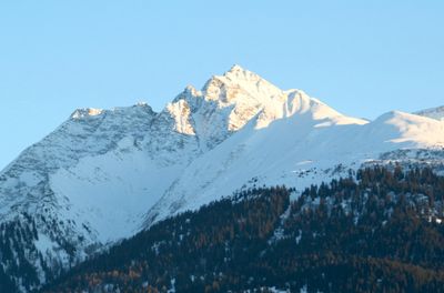
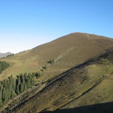
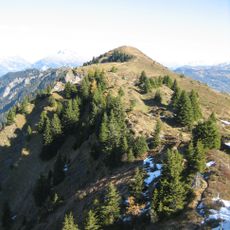
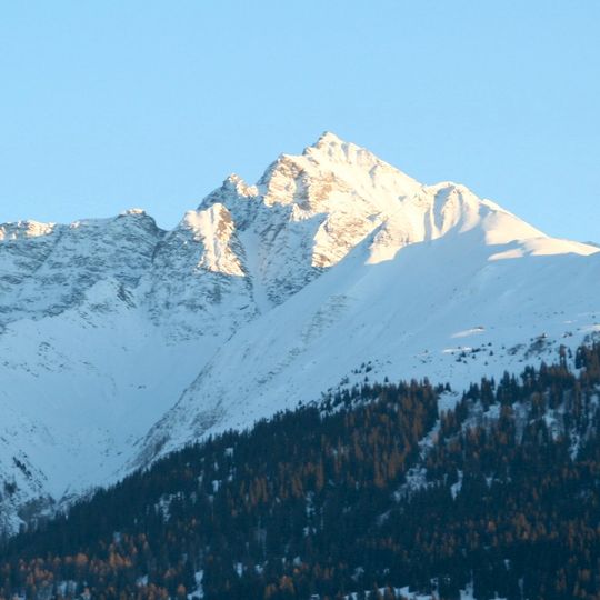
Piz Fess is the highest summit of the Signina range in the Adula Alps, reaching 2,880 metres between Val Lumnezia and Safiental in Graubünden. Its main summit, the Bös Fess, is separated from the lower Chli Fess by a deep cleft. The name comes from the Romansh word fess, meaning split.
In 1894 the pinnacle was still described as unclimbable. The next summer, Karl Viescher from Basel and the local guides Wieland Wieland and J. Christoffel reached the sharp summit, which is the higher of the two tops, the Böser Fess at 2,880 m.
The name Piz Fess comes from the Romansh language spoken in this region, reflecting the deep ties between the mountain and local identity. Hikers often pass by alpine meadows where traditional grazing practices have shaped the landscape for generations.
The route to the summit starts from Tenna and crosses alpine terrain through multiple paths, making previous mountaineering experience helpful for navigation. Good footwear and reliable weather awareness are essential, as some sections are unmarked and conditions can change rapidly.
The two summits are separated by a deep, prominent cleft, which gives the mountain its name: Romansh fess means "split", from Latin fissus. The main summit, the Böser Fess, is the higher one at 2,880 m; the gentler Guter Fess reaches 2,874 m. A summit cross once stood on the main peak but was no longer there as of October 2023.
The community of curious travelers
AroundUs brings together thousands of curated places, local tips, and hidden gems, enriched daily by 92,633 contributors worldwide.