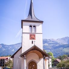
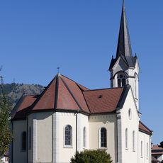
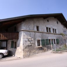
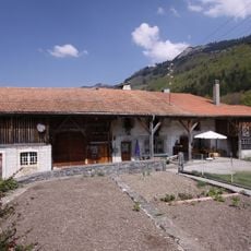
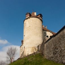
Moléson, Mountain peak in Fribourg Pre-Alps, Switzerland
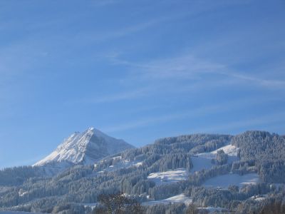
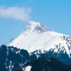
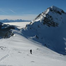
Moléson is a limestone peak in the Fribourg Pre-Alps reaching 2002 meters, sitting above the Gruyère region and marking the landscape visibly from many directions. The mountain displays steep rock faces on its upper portions, with meadows and forests covering the lower slopes.
The name comes from the Latin term mola summum, meaning the highest point of a mountain, showing how the location was understood in ancient times. Over centuries, mountaineers gradually discovered and developed climbing routes on the limestone walls.
The mountain has drawn climbers for generations who practice their skills on the limestone rock faces. Today you can watch them moving across the walls, their presence shaping how the peak feels throughout the day.
A funicular railway carries visitors up to Plan-Francey station, where a cable car takes over for the final stretch to the summit. Regular service makes reaching the top straightforward without needing to hike the entire way.
On clear days, the summit offers a view stretching from Lake Geneva's shores all the way to the Sarine valley far below. This sweeping perspective reveals how centrally located this peak sits within the alpine landscape.
Location: Canton of Fribourg
Elevation above the sea: 2,002 m
Made from material: limestone
GPS coordinates: 46.54894,7.01714
Latest update: December 10, 2025 15:52
Niremont
4.6 km
Dent de Lys
4.7 km
La Part-Dieu
5.4 km
Teysachaux
2.3 km
Vanil Blanc
3.5 km
La Chevrière
6.2 km
Chapelle Notre-Dame des Neiges au Buth
5.9 km
Chapelle Notre-Dame-de-Compassion à la Daudaz
4.4 km
Chapelle du Saint-Esprit aux Sciernes d'Albeuve
6 km
Préventorium et chapelle du Raosaire aux Sciernes d'Albeuve
6.2 km
Chapelle Notre-Dame auxiliatrice aux Combes
4.1 km
Saint-Nicolas-de-Flue
5.5 km
Saints-Simon-et-Jude
4.1 km
Église Notre-Dame de l'Assomption
4.7 km
Fontaine de Lessoc
6 km
Gachet house
6.3 km
House of Marmet Currat and sons
5.3 km
Baudevin-Delatena farmhouses
5.6 km
Farmhouse of François and André Decrind then borcard
5.4 km
Alpine cabin
5.9 km
Saint-Jacques-et-Saint-Barthélemy parish church
5.4 km
House of François Fracheboud
6.1 km
Maison du Banneret
5.7 km
House known as the Counts' house
5.3 km
Ancienne Chartreuse de la Part-Dieu, Gruyères
5.4 km
Town walls of Gruyères
6.2 km
Grange du Laviau
6.1 km
Castella house
6.2 kmVisited this place? Tap the stars to rate it and share your experience / photos with the community! Try now! You can cancel it anytime.
Discover hidden gems everywhere you go!
From secret cafés to breathtaking viewpoints, skip the crowded tourist spots and find places that match your style. Our app makes it easy with voice search, smart filtering, route optimization, and insider tips from travelers worldwide. Download now for the complete mobile experience.
A unique approach to discovering new places❞
— Le Figaro
All the places worth exploring❞
— France Info
A tailor-made excursion in just a few clicks❞
— 20 Minutes