Lake Sempach, Freshwater lake in canton of Lucerne, Switzerland
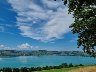
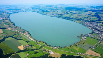
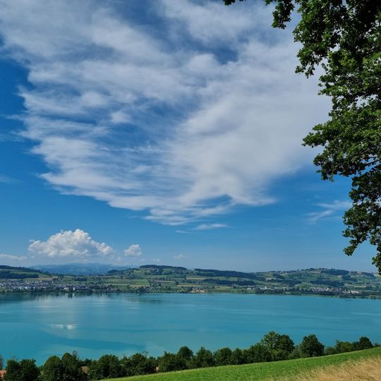
Lake Sempach is a 14.5 km² lake in the Swiss Mittelland at 504 m above sea level, 7.5 km long and up to 87 m deep. Its still, opaque turquoise-green surface is bordered by green fields and a road; seven municipalities in the Sursee district touch its shore. The Suhre leaves the lake at Oberkirch in the northwest.
The lake's shape was set about 12,000 years ago, when the retreating Reuss glacier left the Mariazell moraine that dammed its northern end. Excavated pile dwellings on its shores document Neolithic and Bronze Age settlement, and the lake is listed as a national cultural asset of the canton of Lucerne. In 1806 the water level was lowered by about 1.7 metres, gaining land and reducing flooding; since then the level at the Suhre outflow in Oberkirch has been regulated artificially.
In the 17th century five ferries carried goods across the lake to the weekly market in Sursee. The lake takes its name from the village of Sempach on its eastern shore, while Sursee lies near the outflow of the Suhre in the north.
Much of the shoreline is fenced private land, so access to the water is limited; the swimming ban along Sempach's entire lakeside promenade dates from the 1960s. The lake lies at 504 m above sea level, and its level is regulated at the outflow of the Suhre in Oberkirch. The Swiss Ornithological Institute has its facility in a small park on the shore.
The 50-metre island Gamma Insel lies east of Sursee. In the 17th century the lake carried five ferries bringing goods to the weekly market in Sursee, and the lake is listed as nationally significant in the canton of Lucerne's inventory of cultural property for its Neolithic and Bronze Age pile-dwelling sites.
The community of curious travelers
AroundUs brings together thousands of curated places, local tips, and hidden gems, enriched daily by 94,091 contributors worldwide.