
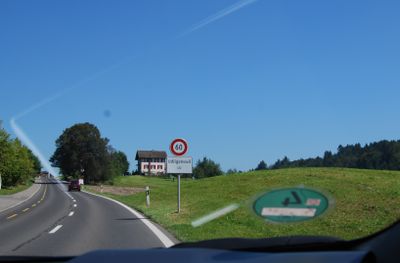
Udligenswil, municipality in the canton of Lucerne, Switzerland
Location: Luzern-Land Constituency
Elevation above the sea: 637 m
Shares border with: Adligenswil, Dierikon, Küssnacht, Meierskappel, Root
Website: http://udligenswil.ch
GPS coordinates: 47.09056,8.40056
Latest update: March 2, 2025 23:11

Hohle Gasse
4 km
Astrid Chapel
2.6 km
Piuskirche Meggen
5.4 km
Michaelskreuz Chapel
3 km
Gessler Castle
3.8 km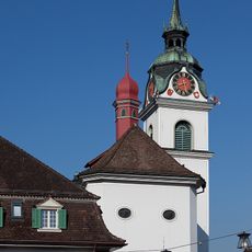
St. Peter and Paul Parish Church
3.2 km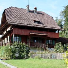
Götzental Castle
1.8 km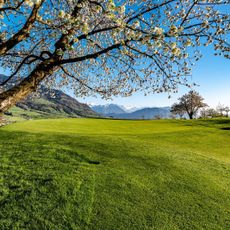
Golfclub Küssnacht
2.3 km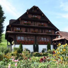
Bauernhof Hinterspichten
4.4 km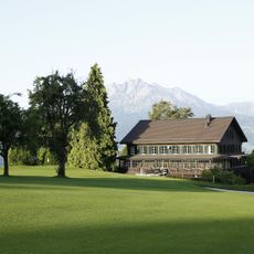
Lucerne Golf Club
4.9 km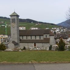
Pfarrkirche St. Sebastian
4.7 km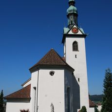
Pfarrkirche St. Martin Root LU
2.7 km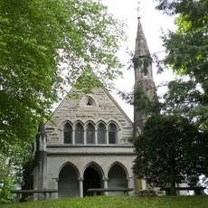
English cemetery with chapel
5.5 km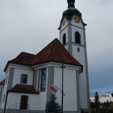
Kirche Inwil
5.2 km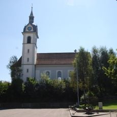
St. Martin Catholic Church
3.5 km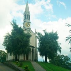
Dottenberg Chapel
1.9 km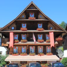
Haus Husmatt
2.8 km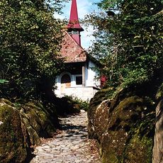
Hohle Gasse with Tell Chapel
4 km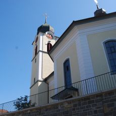
Parish Church of Our Lady
4.7 km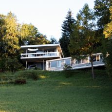
Otto Pfeifer House
718 m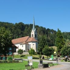
Assumption of the Virgin Mary Parish Church
5 km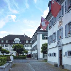
Rathaus II
3.3 km
Rathaus I
3.2 km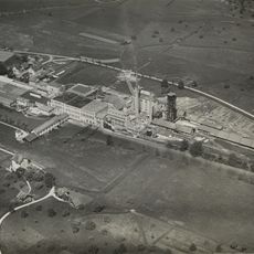
Paper factury Perlen
3.3 km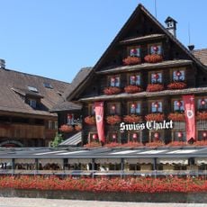
Swiss Chalet
2.8 km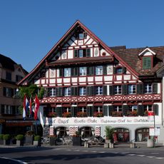
Hotel Engel
3.2 km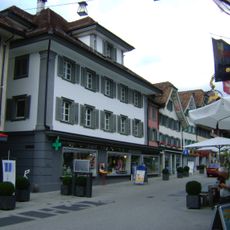
Haus zur Taube
3.2 km
Rectory
3.2 kmVisited this place? Tap the stars to rate it and share your experience / photos with the community! Try now! You can cancel it anytime.
Discover hidden gems everywhere you go!
From secret cafés to breathtaking viewpoints, skip the crowded tourist spots and find places that match your style. Our app makes it easy with voice search, smart filtering, route optimization, and insider tips from travelers worldwide. Download now for the complete mobile experience.

A unique approach to discovering new places❞
— Le Figaro
All the places worth exploring❞
— France Info
A tailor-made excursion in just a few clicks❞
— 20 Minutes