Mont Raimeux, Mountain and scenic viewpoint between Bern and Jura, Switzerland
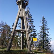
Mont Raimeux is a mountain and scenic viewpoint in the border region between Bern and Jura, standing at around 1,300 meters in elevation. It features hiking trails through forests and meadows with an observation tower at the summit that overlooks the Jura region.
The summit carries the former military tower of the Signal, and the cantonal border between Bern and Jura runs along the main ridge. The Raimeux road tunnel, 3.2 km long, opened beneath the western flank on 30 November 2007 to bypass the Gorges de Moutier on the A16 motorway. The name is thought to derive from Old French raim, meaning scrub-covered or wooded uncultivated land.
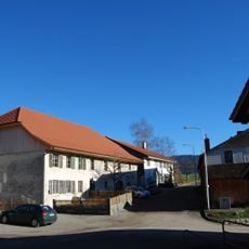
The name likely comes from Old French raim, meaning scrub-covered or wooded uncultivated land. Three hamlets lie on the plateau: Raimeux de Corcelles at 1110 m, Raimeux de Crémines at 1116 m and Raimeux de Grandval at 1288 m, each with mountain farms, horse pastures, a few holiday houses and a mountain restaurant.
The summit ridge runs about 8 km east-west and is roughly 3 km wide, with a 5 km long plateau averaging 1 km across. Three hamlets with mountain restaurants lie on the plateau: Raimeux de Corcelles at 1110 m, Raimeux de Crémines at 1116 m and Raimeux de Grandval at 1288 m. The A16 motorway passes beneath the western flank in the 3.2 km Tunnel du Raimeux, opened on 30 November 2007.
The summit ridge is the eroded core of a Jura fold: hard Malm limestone was stripped from the crest of two anticlines, exposing softer Effinger clay and marl beneath. The cantonal border follows the main crest, the remnant of the northern anticline. Climbers use the Kimmeridgian limestone faces of the Arête du Raimeux and Roche Saint-Jean.
The community of curious travelers
AroundUs brings together thousands of curated places, local tips, and hidden gems, enriched daily by 93,599 contributors worldwide.