
Mönthal, municipality in the canton of Aargau in Switzerland
Location: Brugg District
Elevation above the sea: 478 m
Part of: RPV Brugg Regio
Shares border with: Remigen, Elfingen, Effingen, Bözberg
Website: https://moenthal.ch
GPS coordinates: 47.51917,8.14028
Latest update: March 2, 2025 23:23

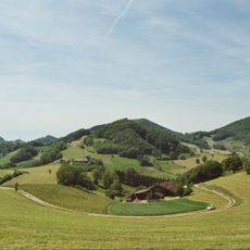
Aargau Jura Park
2.1 km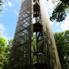
Cheisacherturm
2.6 km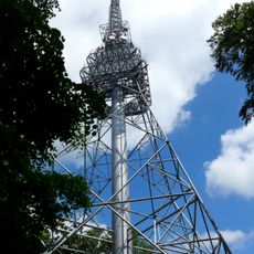
Sendeturm Geissberg
2.4 km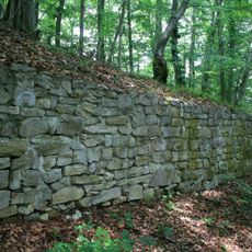
Iberg castle ruin
3.8 km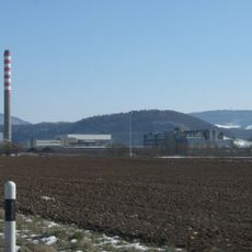
Schinberg
5.2 km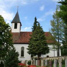
Evangelical reformed parish church
4.9 km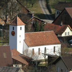
Reformed church
4.6 km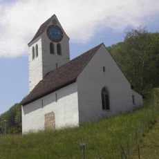
Evangelical-reformed church
3.5 km
Evangelical reformed parish church
269 m
Mandach
4.6 km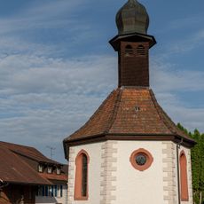
St. Wendelin chapel
4.7 km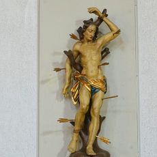
Statue of Sebastian
3.6 km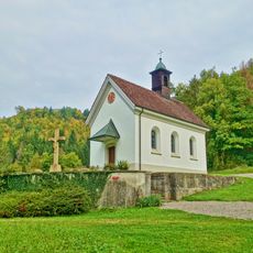
Niklaus chapel
4.6 km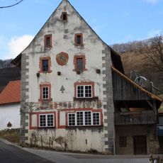
Former Untervogtei with outbuildings
3.5 km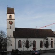
Catholic parish church
5.2 km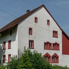
"im Spittel" house
3.4 km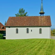
Margaretha chapel
5.6 km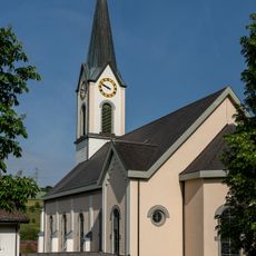
Kirche Gansingen
2.8 km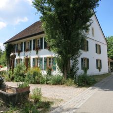
Laur house
4.4 km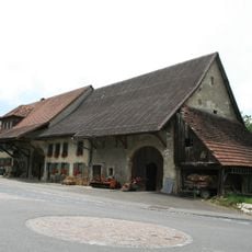
Farmhouse, 1794
4.6 km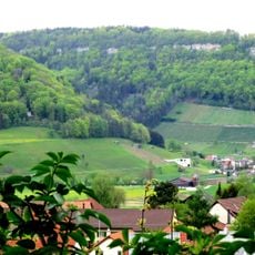
Geissberg (earthwork of unknown date)
5 km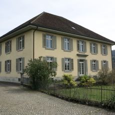
Cantonal child observation station
5.1 km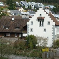
Former tithe house
3.6 km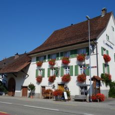
Zum Bären inn
5.1 km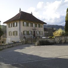
Former rectory
2.8 km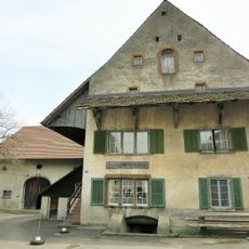
Restaurant Blauen Engel, former Bailiwick
5.1 km
Rectory
3.5 km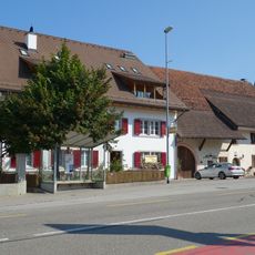
Farmhouse, former tithe house
5 kmVisited this place? Tap the stars to rate it and share your experience / photos with the community! Try now! You can cancel it anytime.
Discover hidden gems everywhere you go!
From secret cafés to breathtaking viewpoints, skip the crowded tourist spots and find places that match your style. Our app makes it easy with voice search, smart filtering, route optimization, and insider tips from travelers worldwide. Download now for the complete mobile experience.

A unique approach to discovering new places❞
— Le Figaro
All the places worth exploring❞
— France Info
A tailor-made excursion in just a few clicks❞
— 20 Minutes