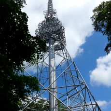
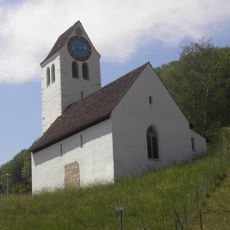
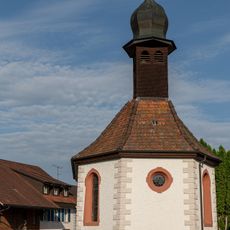
Aargau Jura Park, Regional nature park in northern Aargau and Solothurn, Switzerland
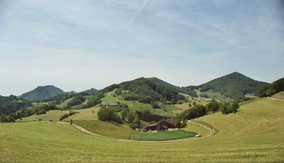
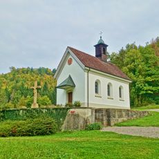
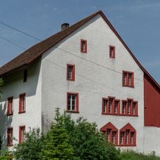
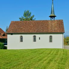
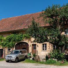
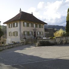
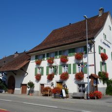
Aargau Jura Park is a protected nature area spanning across roughly 241 square kilometers between the Aare and Rhine rivers, featuring varied landscapes. The terrain shows dense forests, rocky steppes, and terraced vineyards that together form a diverse patchwork.
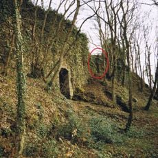
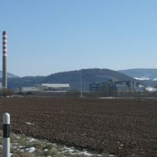
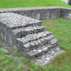
The region was long a major center for iron ore extraction, particularly in the Herznach and Wölfinswil areas, where mining left deep marks on the land. This industrial past shapes the area today, as many old mining structures remain visible.
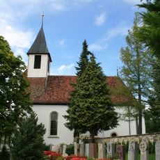
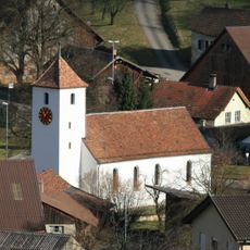
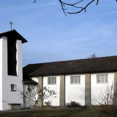
The villages here maintain long-standing Easter traditions where residents take part in local competitions and celebrate regional customs. These celebrations remain an important part of community life today and show how much people value their heritage.
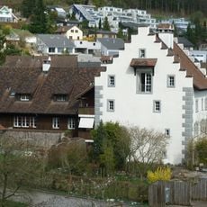
Visitors can find information and guidance at the administration center in Linn in Boezberg municipality, where details about trails and activities are available. The best time to visit depends on the season, as different routes and events are accessible at different times of year.
The land holds geological layers with fossils from the ancient Tethys Sea and contains one of Switzerland's richest iron ore deposits. These underground collections tell the story of Earth's history and remind us of the region's mining importance.
The community of curious travelers
AroundUs brings together thousands of curated places, local tips, and hidden gems, enriched daily by 60,000 contributors worldwide.