Burg Hauenstein, Medieval castle ruins in Laufenburg, Germany
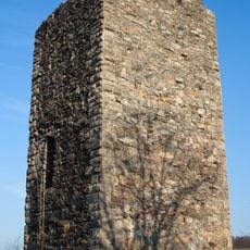
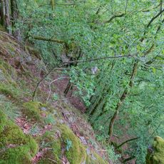
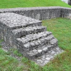
Burg Hauenstein is a ruined hill castle on a hard porphyry spur about 330 meters above sea level, steeply above the town of Hauenstein in the municipality of Laufenburg. Its walls run diagonally from northeast to southwest. The oldest part is probably the southwestern section, where an octagonal ground plan from the 10th or 11th century can still be traced. A later shield wall about 3 meters thick was built against the old hall, leaving a niche on the inner side.
The castle was probably built to protect Säckingen monastery and was already fortified in the early Middle Ages, possibly even in late antiquity. As an imperial fief, it was the seat of the Waldvogtei of Hauenstein County until 1500 and served as a customs post and regional administration. A fire in 1503 and an earthquake in 1356 damaged the complex.
The ruins display features from different building periods, with the southwestern section showing the oldest traces from the 10th or 11th century. Visitors can still see these layers in the remaining walls today and understand how the fortification expanded over the centuries.
Access to the castle grounds is from the southwest, where a footpath climbs to the site. A deep V-shaped ditch runs left of the approach path, and two further ditches, partly edged by a rampart, precede the castle. Before the northeast wall lies another ditch, and the remains of a wooden-and-earth conduit that fed a pond from Hochsal, about two kilometres away, can still be seen.
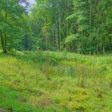
The pond northwest of the castle was fed by a wooden-and-earth channel, called a Wuhr, running about two kilometres from Hochsal; remnants of it survive. Overflow drained through a purpose-dug ditch that passed below the castle and along the outer town walls toward the Rhine.
The community of curious travelers
AroundUs brings together thousands of curated places, local tips, and hidden gems, enriched daily by 92,808 contributors worldwide.