Canton of Solothurn, Canton in Northwestern Switzerland
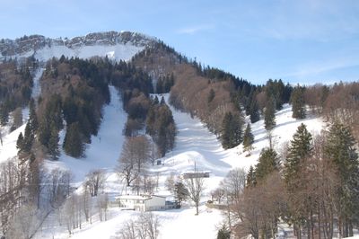
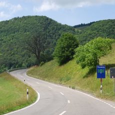
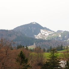
Canton of Solothurn is an administrative division in northwestern Switzerland that covers 791 square kilometers (305 square miles) between flat plains and the rolling hills of the Jura mountains. The territory lies between the Basel region to the north and Bern to the south, including both rural and more populated zones.
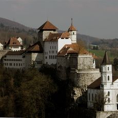
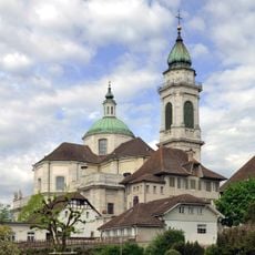
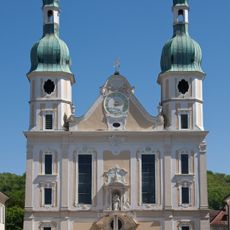
The territory joined the Swiss Confederation in 1481 and maintained its Catholic orientation during the Reformation period. The administrative structure developed over the centuries and shaped the current division into five electoral districts.
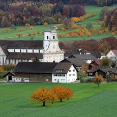
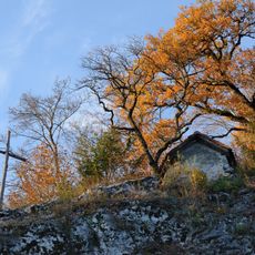
The name derives from the Roman settlement Salodurum and refers to the long tradition of inhabitation along the southern Jura slopes. Today around 280,000 people live in the area, which includes German-speaking villages and smaller towns where everyday life and regional identity blend together.
The railway station at Olten in the center of the territory connects several times daily with Zurich, Basel, and Geneva through the national rail network. Roads and regional trains also serve smaller communities throughout the area.
Near Gösgen a nuclear power plant has been operating since 1979, generating a substantial share of electricity for the region. The facility ranks among the larger industrial sites in the territory and shapes the economic infrastructure of the area.
Location: Switzerland
Location: Old Swiss Confederacy
Location: Helvetic Republic
Inception: 1481
Capital city: Solothurn
Elevation above the sea: 432 m
Reference: SO
Part of: Northwestern Switzerland, Espace Mittelland
Shares border with: Bern, Aargau, Basel-Landschaft, Haut-Rhin, Canton of Jura, Alsace
Website: https://so.ch
GPS coordinates: 47.15000,7.63333
Latest update: December 13, 2025 16:54
Goetheanum
37.4 km
Burgruine Bottenstein
31 km
Benedictine abbey of Mariastein
37.8 km
Aarburg Castle
27.8 km
Passwang Pass
23.4 km
St. Ursus Cathedral
9.6 km
Saint Verena hermitage and sanctuary
11.4 km
Former St. Urban's Abbey
18.1 km
Lake Burgäschi
3.4 km
Belchenflue
27.2 km
Capuchin monastery with church
10.2 km
Neu-Falkenstein Castle
20.1 km
Farnsburg Castle
42.2 km
Dorneck Castle
36.7 km
Cave Birseck hermitage, Palaeolithic residential cave / cult place / neolithic burial
37.8 km
Hasenmatt
17.2 km
Arlesheim Cathedral
38.1 km
Neu Bechburg
17.5 km
Château de Landskron
39.1 km
Fortifikation Hauenstein
27.2 km
Reichenstein Castle
38.6 km
Frohburg Castle
32 km
Sälischlössli
29.8 km
Rotberg castle youth hostel
36.8 km
Birseck Castle
38.1 km
Angenstein Castle
34.9 km
Homburg Ruin
32.8 km
Gempenturm
36.5 kmVisited this place? Tap the stars to rate it and share your experience / photos with the community! Try now! You can cancel it anytime.
Discover hidden gems everywhere you go!
From secret cafés to breathtaking viewpoints, skip the crowded tourist spots and find places that match your style. Our app makes it easy with voice search, smart filtering, route optimization, and insider tips from travelers worldwide. Download now for the complete mobile experience.
A unique approach to discovering new places❞
— Le Figaro
All the places worth exploring❞
— France Info
A tailor-made excursion in just a few clicks❞
— 20 Minutes