
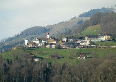
Steinerberg, municipality in the canton of Schwyz in Switzerland
Location: Schwyz District
Elevation above the sea: 620 m
Shares border with: Arth, Unterägeri, Lauerz, Sattel, Steinen, Zug
Website: https://steinerberg.ch
GPS coordinates: 47.05194,8.58500
Latest update: March 2, 2025 22:02
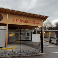
Natur- und Tierpark Goldau
2.4 km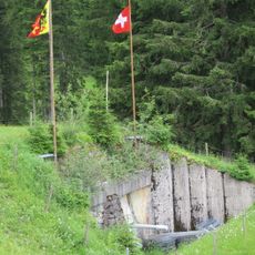
Artilleriewerk Halsegg
4.2 km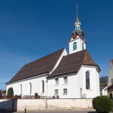
Pfarrkirche St. Jakob
2.2 km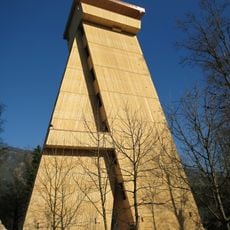
Tierparkturm Goldau
2.1 km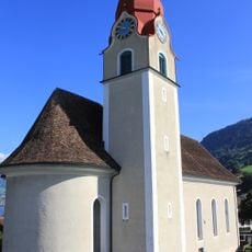
St. Nikolaus Parish Church
1.9 km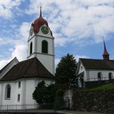
St. Anna Parish church
148 m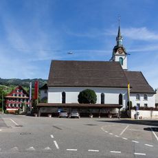
Kirchenbogen
2.2 km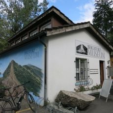
Landslide Museum
2.4 km
Kapelle Ecce Homo
3.1 km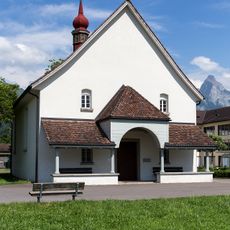
Former Cistercian monastery in the Au
2 km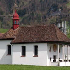
Kapelle zum Grossen Herrgott
2.2 km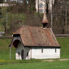
Kapelle St. Vinzenz
1.5 km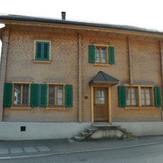
House (1306)
2.1 km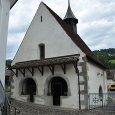
Ossuary
2.2 km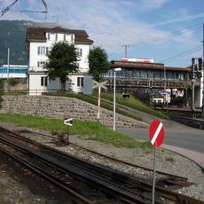
High platform of the Rigi railway
2.8 km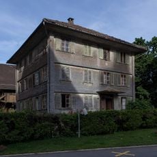
Kaplanei
2.2 km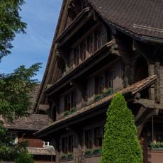
Pfarrhaus
2.1 km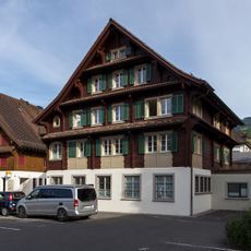
Haus (Gemeindehaus)
2.1 km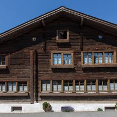
Fleckhaus
2.3 km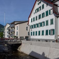
Haus
2.2 km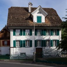
Haus (Camenzindhaus)
2 km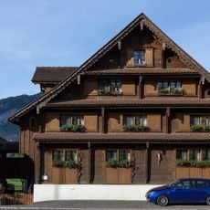
Haus
2.5 km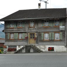
House
2.1 km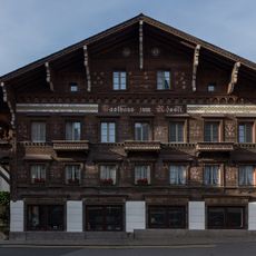
Haus (Gasthaus zum Rössli)
2.2 km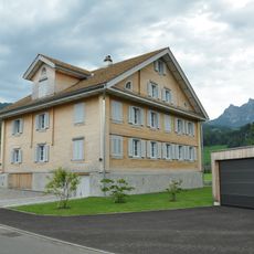
House (Feld)
2.2 km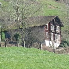
Baltisberg House
4.2 km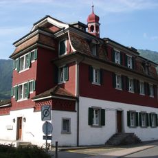
House, Goldau (Old Fraternity House)
3 km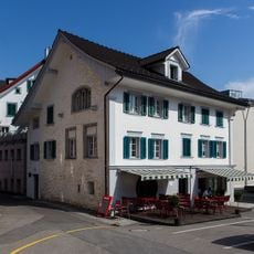
Haus (zur Krone)
2.2 kmVisited this place? Tap the stars to rate it and share your experience / photos with the community! Try now! You can cancel it anytime.
Discover hidden gems everywhere you go!
From secret cafés to breathtaking viewpoints, skip the crowded tourist spots and find places that match your style. Our app makes it easy with voice search, smart filtering, route optimization, and insider tips from travelers worldwide. Download now for the complete mobile experience.

A unique approach to discovering new places❞
— Le Figaro
All the places worth exploring❞
— France Info
A tailor-made excursion in just a few clicks❞
— 20 Minutes