
Wileroltigen, municipality in the canton of Bern in Switzerland
Location: Bern-Mittelland administrative district
Elevation above the sea: 513 m
Website: https://wileroltigen.ch
GPS coordinates: 46.97209,7.23849
Latest update: March 17, 2025 11:39
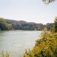
Lake Wohlen
3.5 km
Papiliorama
3.4 km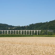
Railroad viaduct BN over the Saane
4 km
Bahnmuseum Kerzers
3.4 km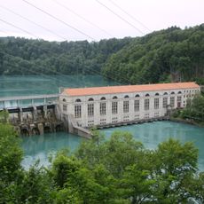
Mühleberg power station
3.5 km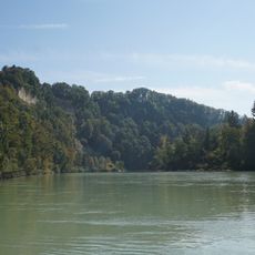
Burg Oltigen
2.3 km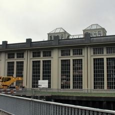
Kallnach power station
5.5 km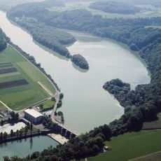
Niederriedsee
2.9 km
Heggidorn
5.2 km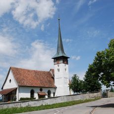
Kirche Mühleberg
2.7 km
Reformed church with retory
6.1 km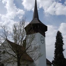
Reformed church, rectory and bakehouse
3.4 km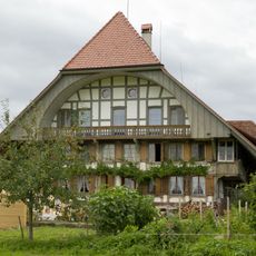
Statthalterhaus
2.4 km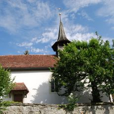
Reformed church
5.1 km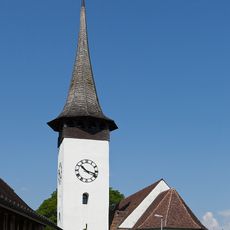
Reformed church
3.2 km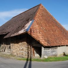
Former double farmhouse (end of 17th c.)
178 m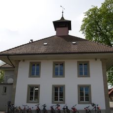
Elementary school building
7.1 km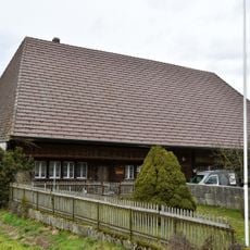
Former farmhouse (around 1800)
7.2 km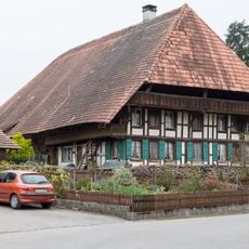
Farmhouse Im Egge (1780)
140 m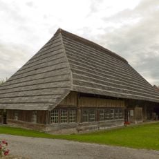
Jerisberghof (Althus, Statthalterhaus, Ofenhaus)
2.4 km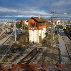
Historisches Stellwerk Kerzers
3.5 km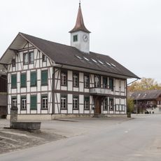
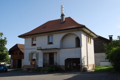
School house (1880)
171 m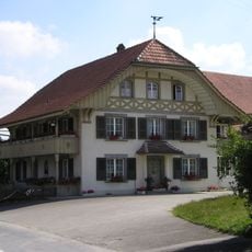
Rural dwelling house (1933)
300 m
Althus Jerisberghof
2.4 km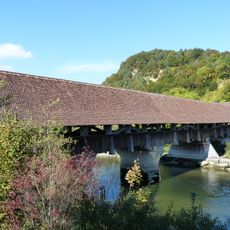
Saanebrücke Gümmenen
3.1 km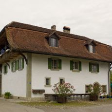
Bakehouse
2.4 km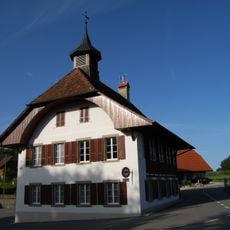
School house
5.4 km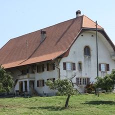
Ferme, Route Cantonale, Erli 2, Morat
5.5 kmVisited this place? Tap the stars to rate it and share your experience / photos with the community! Try now! You can cancel it anytime.
Discover hidden gems everywhere you go!
From secret cafés to breathtaking viewpoints, skip the crowded tourist spots and find places that match your style. Our app makes it easy with voice search, smart filtering, route optimization, and insider tips from travelers worldwide. Download now for the complete mobile experience.

A unique approach to discovering new places❞
— Le Figaro
All the places worth exploring❞
— France Info
A tailor-made excursion in just a few clicks❞
— 20 Minutes