
Alto Malcantone, municipality in the canton of Ticino in Switzerland
Location: Breno Subdistrict
Inception: March 14, 2005
Elevation above the sea: 810 m
Shares border with: Aranno, Bedano, Bioggio, Gambarogno, Gravesano, Manno, Miglieglia, Torricella-Taverne, Cademario, Monteceneri, Curiglia con Monteviasco
Website: https://altomalcantone.ch
GPS coordinates: 46.03333,8.88333
Latest update: March 19, 2025 12:55
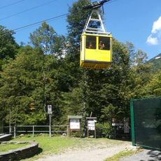
Funivia di Monteviasco
6.5 km
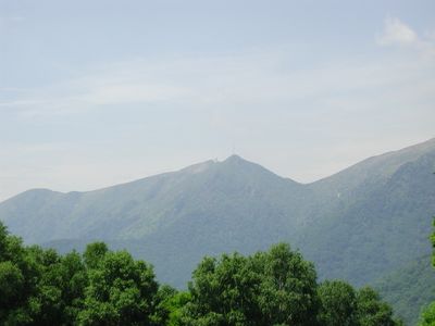
Monte Lema
4 km
Monte Gradiccioli
5.8 km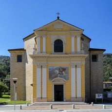
Parish Church of St. Maurice
2.7 km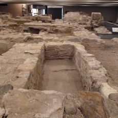
Roman place of worship and ancient settlement of St. Maurice
2.8 km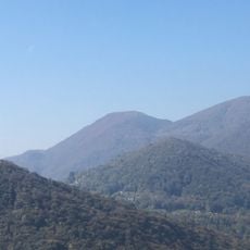
Monte Rogoria
5 km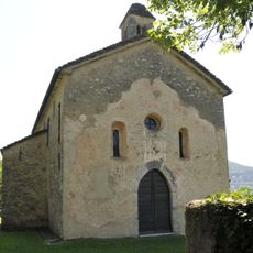
Santo Stefano al Colle Church and Ossary
2.2 km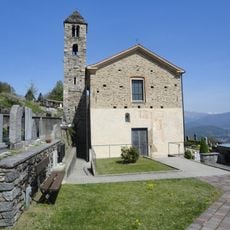
Parish church of St. Ambrogio with treasure
1.8 km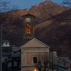
Santa Maria Nascente
7.6 km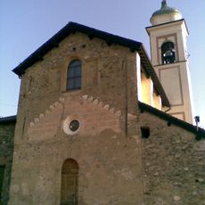
San Michele Parish Church
2.1 km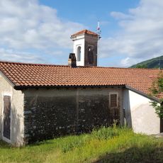
San Zeno Oratory
4.1 km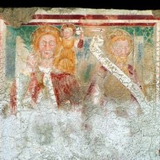
Santi Gervasio e Protasio Parish Church
3.9 km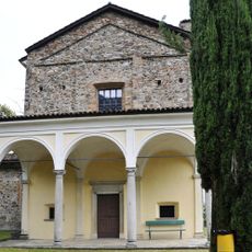
Sant'Ilario oratory
2.4 km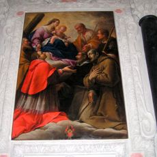
Chiesa dei Santi Pietro e Paolo
3.2 km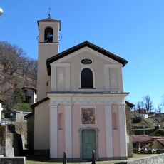
Sant'Agata Parish Church
1.8 km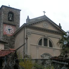
San Lorenzo Parish Church and San Rocco Oratory
1 km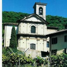
San Bartolomeo Parish Church
1.3 km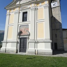
Chiesa di San Vittore Mauro
2.1 km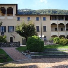
Palazzo Riva di Bioggio
2.8 km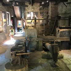
Maglio del Malcantone
1.5 km
Breno
1.1 km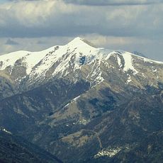
Monte Pola
5.1 km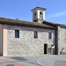
Santa Maria oratory
3.4 km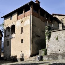
Casa Righetti
2.1 km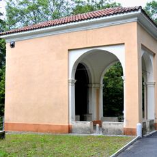
Madonna di Caravaggio Chapel
1.5 km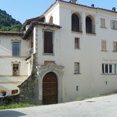
Palazzetto Ferroni
2.1 km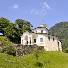
Oratorio di Santa Maria delle Grazie
1.5 km
Oratorio della Madonna a Cimaronco
2.4 kmVisited this place? Tap the stars to rate it and share your experience / photos with the community! Try now! You can cancel it anytime.
Discover hidden gems everywhere you go!
From secret cafés to breathtaking viewpoints, skip the crowded tourist spots and find places that match your style. Our app makes it easy with voice search, smart filtering, route optimization, and insider tips from travelers worldwide. Download now for the complete mobile experience.

A unique approach to discovering new places❞
— Le Figaro
All the places worth exploring❞
— France Info
A tailor-made excursion in just a few clicks❞
— 20 Minutes