
Meienried, municipality in the canton of Bern in Switzerland
Location: Seeland administrative district
Elevation above the sea: 430 m
Website: https://meienried.ch
GPS coordinates: 47.14000,7.34028
Latest update: March 8, 2025 11:50
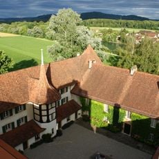
Monastery Gottstatt
2.1 km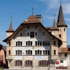
Büren Castle
2.3 km
Burg Strassberg
2.3 km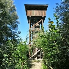
Observation tower Häftli
733 m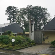
St. Katharina Parish Centre
3.3 km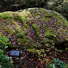
Grauer Stein
2 km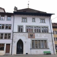
Town hall
2.4 km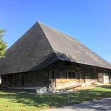
Gerberhaus
2.6 km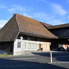
House Schneeberger
3.7 km
Zeller Building
3.7 km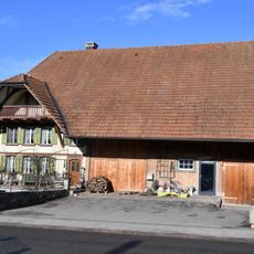
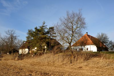
Farmhouse
3.7 km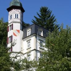
Dotzingen château
2.1 km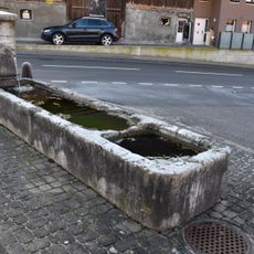
Fountain
3.7 km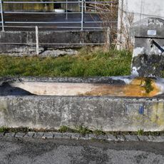
Fountain
3.9 km
Ochsen restaurant
2.5 km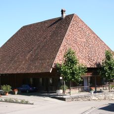
Bangerter House
2.3 km
Schoolhouse
2.2 km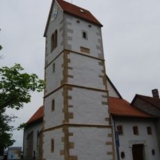
Former Premonstratensian abbey
2.1 km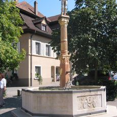
Fountain (1668)
2.4 km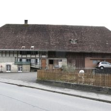
Old oilmill
3.9 km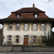
Reformed rectory with barn
3.9 km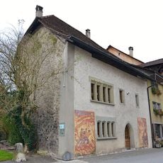
Alter Spittel
2.6 km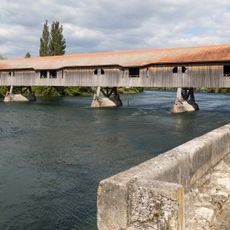
Covered wooden bridge over the Aare
2.5 km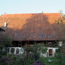
Mill
2.6 km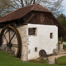
Old mill
2.5 km
Stotzer House with economic buildings
3 km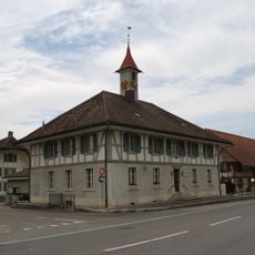
Former school house – today's municipal administration
1.7 km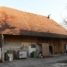
Farm house (1896)
3.4 kmReviews
Visited this place? Tap the stars to rate it and share your experience / photos with the community! Try now! You can cancel it anytime.
Discover hidden gems everywhere you go!
From secret cafés to breathtaking viewpoints, skip the crowded tourist spots and find places that match your style. Our app makes it easy with voice search, smart filtering, route optimization, and insider tips from travelers worldwide. Download now for the complete mobile experience.

A unique approach to discovering new places❞
— Le Figaro
All the places worth exploring❞
— France Info
A tailor-made excursion in just a few clicks❞
— 20 Minutes