Seeland administrative district
Seeland administrative district, Administrative district in Canton Bern, Switzerland
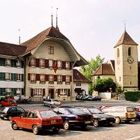
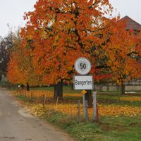
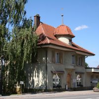
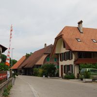
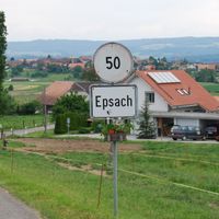
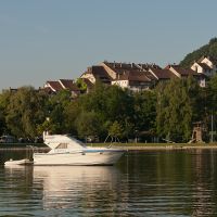
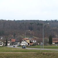
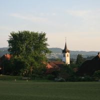
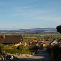
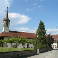
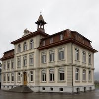
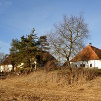
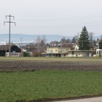
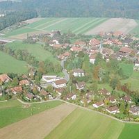
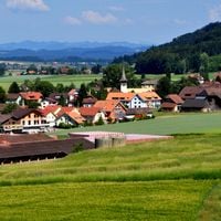
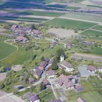
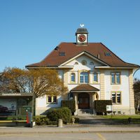
Seeland is an administrative district in the canton of Bern comprising dozens of small municipalities spread across the landscape. Aarberg serves as its administrative center, coordinating services and local governance across these scattered communities.
The district formed when Bern consolidated several historically separate territories into a unified administrative region during earlier centuries. This reorganization brought together lands that had once operated as distinct administrative units.
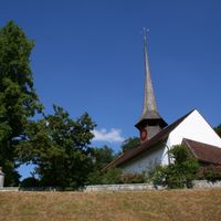
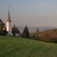
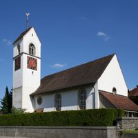
The communities here blend German and French-speaking residents, reflecting its role as a transitional zone between two major linguistic regions of Switzerland. Daily life shows this mixture in local customs and communication patterns across the municipalities.
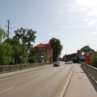
Administrative offices are located in Aarberg, which serves as the hub for local services and inquiries. The scattered municipalities are easily reached by car or train, as they connect well to Switzerland's regional transport network.
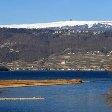
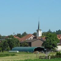
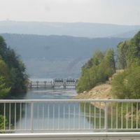
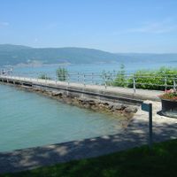
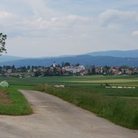
The area was once marshland that engineers transformed into productive farmland through major water management projects. This drainage work in the 1800s reshaped both the landscape and the economic life of the local communities.
Location: Seeland administrative region
Capital city: Aarberg
Elevation above the sea: 442 m
GPS coordinates: 47.03333,7.26667
Latest update: December 10, 2025 15:53
Fountain of the knight banneret
12.2 km
Congress Center
11.4 km
Chasseral
19.2 km
Papiliorama
7 km
Taubenloch
13.9 km
Enge peninsula
15 km
Aeropalace
11.3 km
Chutzenturm
4.8 km
Former Grand Garage du Jura
12.4 km
Hofwil institute building
14.9 km
Grauholz memorial
17.6 km
Control building
11.6 km
Fountain of Justice
12.1 km
Headquarters of Swatch, Biel/Bienne
12.3 km
Old crown
12.2 km
People's house
11.4 km
Personal shelter with phone booth
11.4 km
Bremgarten château
14.8 km
Bus shelter of the municipal transport services (1933)
12.3 km
Pasquart church
12.1 km
Residential and commercial building
11.3 km
Hotel Elite
11.4 km
Swiss Federal Institute of Sport Magglingen
12.3 km
Farel house
11.7 km
Former country estate Rockhall
12.1 km
Mother and Child Residence
11.9 km
Bus shelter of the municipal transport services
10.8 km
Sendeanlage Nods Chasseral
19.2 kmVisited this place? Tap the stars to rate it and share your experience / photos with the community! Try now! You can cancel it anytime.
Aarberg
Arch
Bangerten
Bargen
Brüttelen
Büetigen
Bühl
Büren an der Aare
Diessbach bei Büren
Dotzigen
Epsach
Erlach
Finsterhennen
Gals
Gampelen
Grossaffoltern
Hagneck
Hermrigen
Ins
Jens
Kallnach
Kappelen
Leuzigen
Lüscherz
Lyss
Meienried
Merzligen
Müntschemier
Oberwil bei Büren
Radelfingen
Rapperswil
Rüti bei Büren
Schüpfen
Seedorf
Zezèle
Studen
Täuffelen
Treiteron
Tschugg
Vinelz
Walperswil
Wengi
Worben
Discover hidden gems everywhere you go!
From secret cafés to breathtaking viewpoints, skip the crowded tourist spots and find places that match your style. Our app makes it easy with voice search, smart filtering, route optimization, and insider tips from travelers worldwide. Download now for the complete mobile experience.
A unique approach to discovering new places❞
— Le Figaro
All the places worth exploring❞
— France Info
A tailor-made excursion in just a few clicks❞
— 20 Minutes