Taubenloch, Canyon in Biel/Bienne, Switzerland
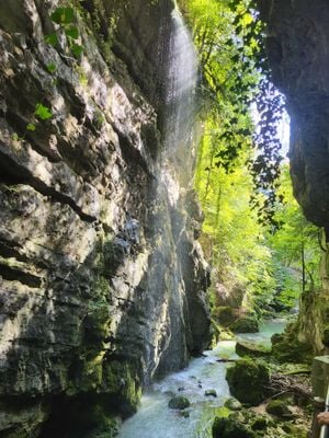
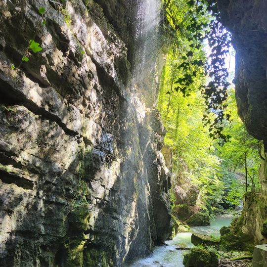
Taubenloch is a canyon extending roughly 2 kilometers between Frinvillier and Bözingen, with the Suze river flowing through steep limestone cliffs. The rock walls flanking the waterway create a striking geological formation with diverse stone layers.
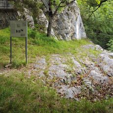
The name Taubenloch is first documented in 1532. In Roman times the gorge was not yet passable, so the road from Petinesca ran along the western shoulder of the Bözingenberg to Frinvillier and through the Rondchâtel gap; remains are visible near the Martinsklafter. The Biel–Sonceboz road opened in 1859 after nine years of construction, with the single-arch Tubelochbrügg bridge as its centrepiece. The Jura railway followed in 1874, crossing the gorge mainly in two tunnels.
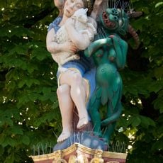
The name Taubenloch first appears in a document from 1532. Linguist Andres Kristol links it not to doves (Taube) but to an Alemannic "Dubeloch", from the Celtic root dubo- meaning black, echoed in the Doubs and Twannbach. A local legend instead tells of a girl called La Colombe who leapt into the gorge to escape the tyrant of Rondchâtel.
The footpath through the gorge was built in 1889 on the initiative of the SAC, and the Taubenlochgesellschaft was founded that same year to maintain it. The route from Bözingen to Frinvillier is about two kilometres long. The path has been closed repeatedly after rockfalls, including for two years from 2003 and after 1 August 2009; check current conditions before setting out.
The gorge reaches an elevation of 448 meters and displays diverse geological formations carved by the continuous flow of the Suze river over millennia. This ongoing work by water has shaped the rock patterns and structures visible today.
The community of curious travelers
AroundUs brings together thousands of curated places, local tips, and hidden gems, enriched daily by 94,078 contributors worldwide.