
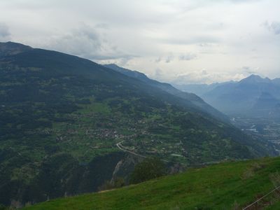
Les Agettes, village and former municipality in Sion in the canton of Valais in Switzerland
Location: Sion
Elevation above the sea: 1,002 m
Website: http://lesagettes.ch
GPS coordinates: 46.21667,7.38333
Latest update: March 19, 2025 16:15
St. Nicolas
4.4 km
State archives of the canton of Valais
2.5 km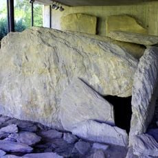
Nécropole néolithique du Petit-Chasseur
3.1 km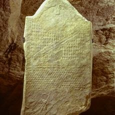
Le Petit-Chasseur
3.2 km
Media center Valais Sion
2.7 km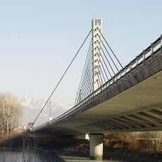
Chandoline Bridge
1.7 km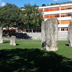
Chemin des Collines, menhirs and archaeological zone
3 km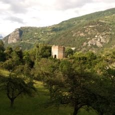
Ruins of the medieval Tavelli Tower
2.4 km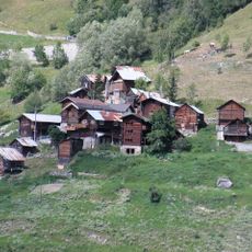
Verrey
4.8 km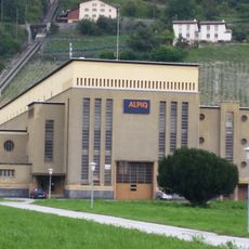
Chandoline power plant
942 m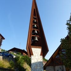
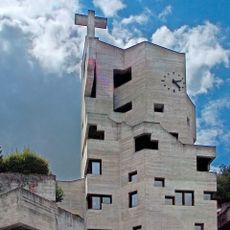
Saint-Sylve new church
1.2 km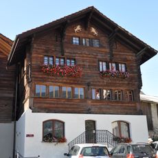
Chalet on the square
1.3 km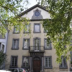
Former Prefecture of the Department of Simplon (Kalbermatten house)
2.5 km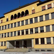
Primary school for boys
2.9 km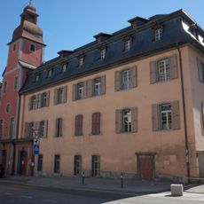
Former hôpital des bourgeois
2.2 km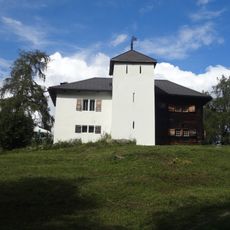
Chalet Jacques Allet (Supersaxo)
2.2 km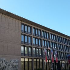
Cantonal Bank
2.3 km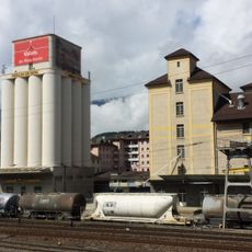
Sion mill
1.9 km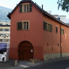
Maison du Diable
2.3 km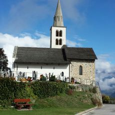
Old church Saint-Sylve
1.5 km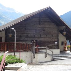
Maison bourgeoisiale
4.4 km
Chemin des Collines
2.8 km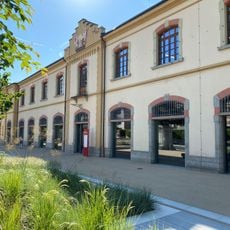
Former cantonal armory
2.7 km
Building "Les Rochers"
2.4 km
Sous-le-Scex (archaeological zone)
2.4 km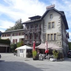
Ruine du château de Brignon (1260)
5.7 km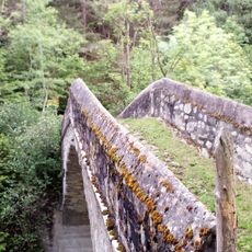
Pont de pierre
3.6 km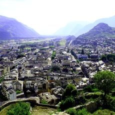
Ville, station / ville néolithique / moderne
2.6 kmReviews
Visited this place? Tap the stars to rate it and share your experience / photos with the community! Try now! You can cancel it anytime.
Discover hidden gems everywhere you go!
From secret cafés to breathtaking viewpoints, skip the crowded tourist spots and find places that match your style. Our app makes it easy with voice search, smart filtering, route optimization, and insider tips from travelers worldwide. Download now for the complete mobile experience.

A unique approach to discovering new places❞
— Le Figaro
All the places worth exploring❞
— France Info
A tailor-made excursion in just a few clicks❞
— 20 Minutes